Montrose Mining Company, Houston
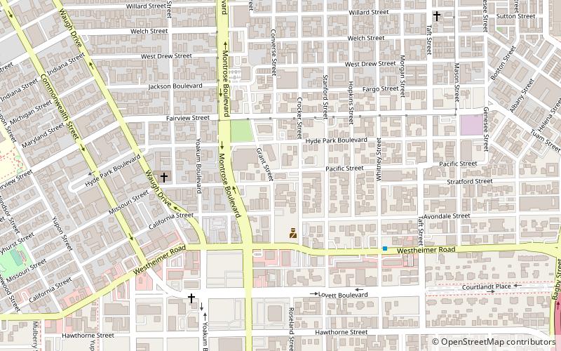
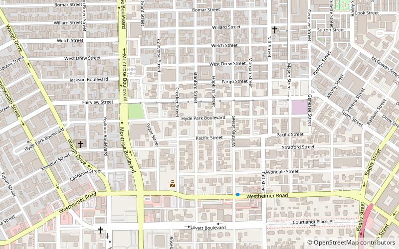
Map
Facts and practical information
Montrose Mining Company is a gay bar in the Montrose neighborhood of Houston, Texas, United States. Having opened in March 1978, it is the oldest gay bar in Houston since the closing of EJ's in June 2014. Although it mainly caters to the leather and Levi's subcultures, it is regularly attended by all members of the LGBT community. ()
Coordinates: 29°44'48"N, 95°23'25"W
Address
805 Pacific StreetInner Loop (Neartown - Montrose)Houston
Contact
+1 713-529-7488
Social media
Add
Getting there by public transportation
Public transportation stops near this location
- Bus
- Light rail
 Bus
Bus
- Calculate routeEnsemble/HCC 22 min walk
- Calculate routeMcGowen 25 min walk
- Calculate routeWheeler 27 min walk
- Calculate routeFlixBus Houston 26 min walk
- Calculate routeWheeler Station Transit Center 27 min walk
- Calculate routeGreyhound Bus Lines 30 min walk
- Calculate routeDowntown Transit Center 30 min walk
Day trips


Frequently Asked Questions (FAQ)
Which popular attractions are close to Montrose Mining Company?
Nearby attractions include Anderson Fair, Houston (7 min walk), Annunciation Greek Orthodox Cathedral, Houston (11 min walk), Courtlandt Place, Houston (12 min walk), Neartown Houston, Houston (13 min walk).
How to get to Montrose Mining Company by public transport?
The nearest stations to Montrose Mining Company:
Light rail
Bus
Light rail
- Ensemble/HCC • Lines: Red (22 min walk)
- McGowen • Lines: Red (25 min walk)
Bus
- FlixBus Houston • Lines: 2210, 2211, 2240, 2271 (26 min walk)
- Wheeler Station Transit Center (27 min walk)