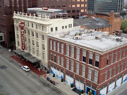
Harwood Historic District, Dallas
Map

Map

Facts and practical information
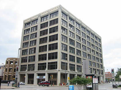
The Harwood Street Historic District is a historic commercial district and Dallas Landmark District on the east end of downtown Dallas, Texas lying in parts of the City Center District, Main Street District and Farmers Market District. The locally protected district generally encompasses structures in the blocks fronting Harwood Street from Pacific Avenue to Canton Street. ()
Coordinates: 32°46'50"N, 96°47'38"W
Address
Downtown Dallas (Famers Market)Dallas
ContactAdd
Social media
Add
Day trips
Harwood Historic District – popular in the area (distance from the attraction)
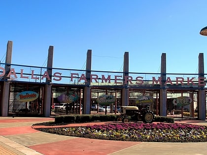
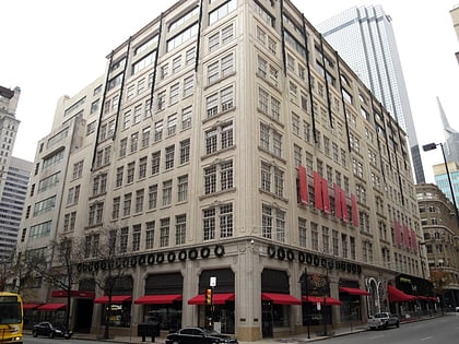
Nearby attractions include: The Bomb Factory, Dallas Farmers Market, Neiman Marcus, Dallas City Hall.
Frequently Asked Questions (FAQ)
Which popular attractions are close to Harwood Historic District?
Nearby attractions include Old Dallas Central Library, Dallas (1 min walk), Main Street Garden Park, Dallas (2 min walk), First Presbyterian Church of Dallas, Dallas (3 min walk), Majestic Theatre, Dallas (5 min walk).
How to get to Harwood Historic District by public transport?
The nearest stations to Harwood Historic District:
Bus
Light rail
Tram
Train
Bus
- G • Lines: 24, 36, 81, 82, d-link (7 min walk)
- M • Lines: 19 (7 min walk)
Light rail
- Saint Paul • Lines: Blue, Green, Orange, Red (9 min walk)
- Akard • Lines: Blue, Green, Orange, Red (11 min walk)
Tram
- Federal & Harwood • Lines: 825 (10 min walk)
- Saint Paul & Federal • Lines: 825 (10 min walk)
Train
- Convention Center (19 min walk)
- Dallas Union Station (23 min walk)


