Southwest Bakersfield, Bakersfield
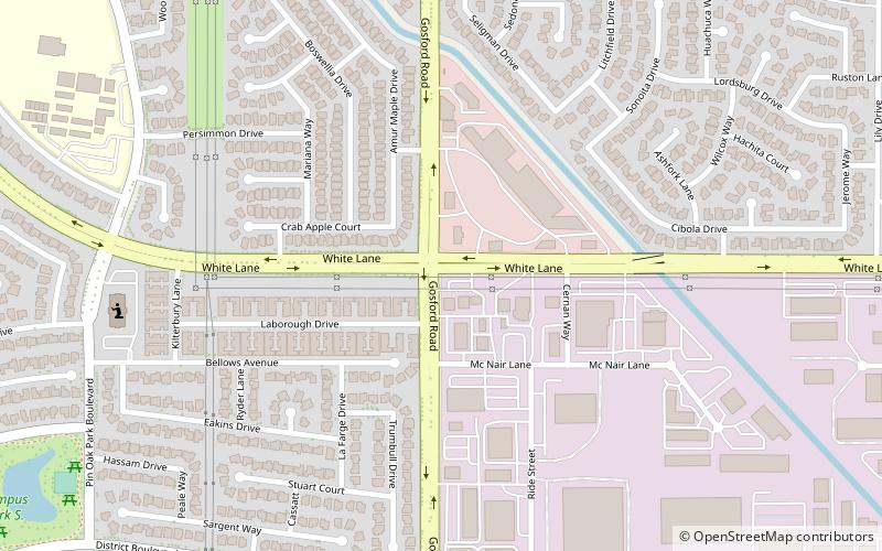
Map
Facts and practical information
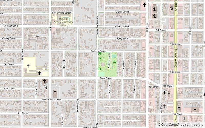
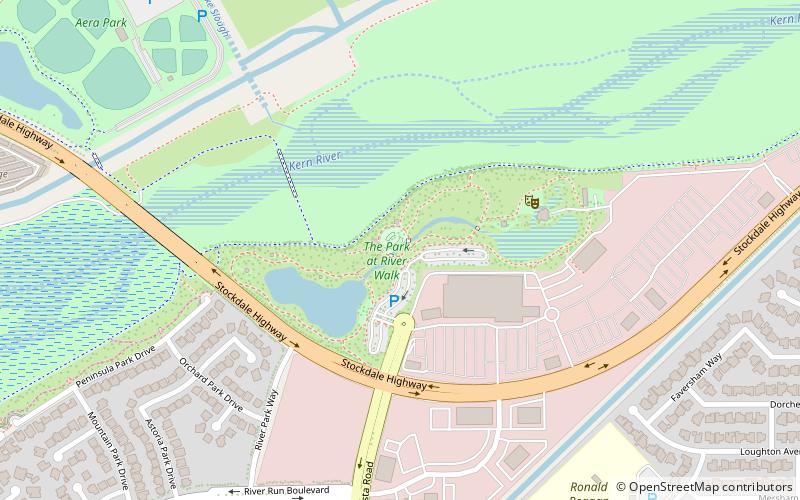
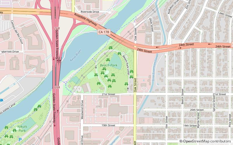
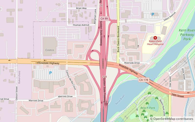
Southwest Bakersfield is the southwest region of Bakersfield, California. It is roughly bounded by the Kern River to the north and Oak Street/Wible Road to the east. The other boundaries are the city limits themselves. ()
Area: 20.26 mi²Coordinates: 35°19'5"N, 119°5'31"W
Address
GosfordBakersfield
ContactAdd
Social media
Add
Day trips
Southwest Bakersfield – popular in the area (distance from the attraction)
Nearby attractions include: Valley Plaza Mall, Bakersfield City Hall, Fox Theater, Buck Owens' Crystal Palace.


