Lewisburg Historic District, Covington
Map

Map

Facts and practical information
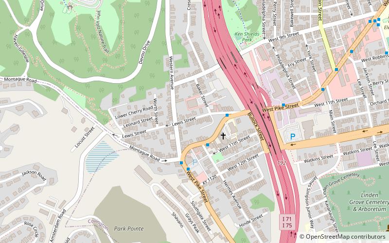
Lewisburg Historic District in Covington, Kentucky is a 70-acre historic district that was listed on the National Register of Historic Places in 1993. At that time, it included 430 buildings deemed to contribute to the historic character of the area, and 46 non-contributing buildings. It is bounded by Interstate 75 on the east and city limits on the southwest and west. ()
Coordinates: 39°4'37"N, 84°31'23"W
Address
Covington (Lewisburg)Covington
ContactAdd
Social media
Add
Day trips
Lewisburg Historic District – popular in the area (distance from the attraction)
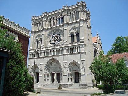
Nearby attractions include: John A. Roebling Suspension Bridge, Cathedral Basilica of the Assumption, General James Taylor Park, Brent Spence Bridge.
Frequently Asked Questions (FAQ)
Which popular attractions are close to Lewisburg Historic District?
Nearby attractions include Linden Grove Cemetery, Covington (12 min walk), GAR Monument in Covington, Covington (13 min walk), Veteran's Monument in Covington, Covington (14 min walk), Mainstrasse Village, Covington (14 min walk).
How to get to Lewisburg Historic District by public transport?
The nearest stations to Lewisburg Historic District:
Bus
Bus
- Pike @ Hermes • Lines: 1 (2 min walk)
- Pike @ Lewis • Lines: 1 (3 min walk)


