C&O Railroad Bridge, Cincinnati

Gallery (1)
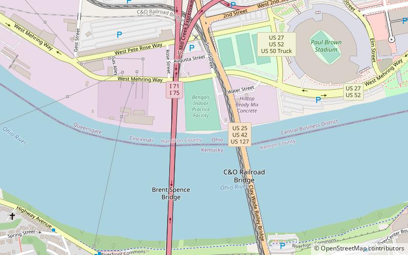
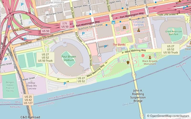
Map
Map
Facts and practical information
The C&O Railroad bridge is a cantilever truss bridge over the Ohio River. It was the first railroad bridge connecting Cincinnati, Ohio, and Covington, Kentucky. ()
Opened: 1889 (137 years ago)Coordinates: 39°5'34"N, 84°31'16"W
Address
Central Business DistrictCincinnati
ContactAdd
Social media
Add
Getting there by public transportation
Public transportation stops near this location
- Bus
- Tram
 Bus
Bus
- Calculate routeW 3rd St & Philadelphia St 10 min walk
- Calculate routePhiladelphia at 3rd White Castle 10 min walk
- Calculate routeHighway Ave & Western Ave 10 min walk
- Calculate routeThird & Bakewell 11 min walk
- Calculate routeCincinnati Cyclones 19 min walk
- Calculate routeFountain Square 20 min walk
- Calculate route247 Telemarketing 22 min walk
- Calculate routeAronoff Center 24 min walk
Day trips
C&O Railroad Bridge – popular in the area (distance from the attraction)
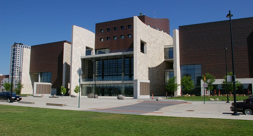
Nearby attractions include: National Underground Railroad Freedom Center, Great American Ball Park, Paul Brown Stadium, Contemporary Arts Center.


Frequently Asked Questions (FAQ)
Which popular attractions are close to C&O Railroad Bridge?
Nearby attractions include Clay Wade Bailey Bridge, Cincinnati (4 min walk), Brent Spence Bridge, Cincinnati (5 min walk), Paul Brown Stadium, Cincinnati (9 min walk), ICON Music Center, Cincinnati (12 min walk).
How to get to C&O Railroad Bridge by public transport?
The nearest stations to C&O Railroad Bridge:
Bus
Tram
Bus
- W 3rd St & Philadelphia St • Lines: 3 (10 min walk)
- Philadelphia at 3rd White Castle • Lines: 3 (10 min walk)
Tram
- Cincinnati Cyclones • Lines: 100 (19 min walk)
- Fountain Square • Lines: 100 (20 min walk)