Faubourg St. John, New Orleans

Gallery (2)
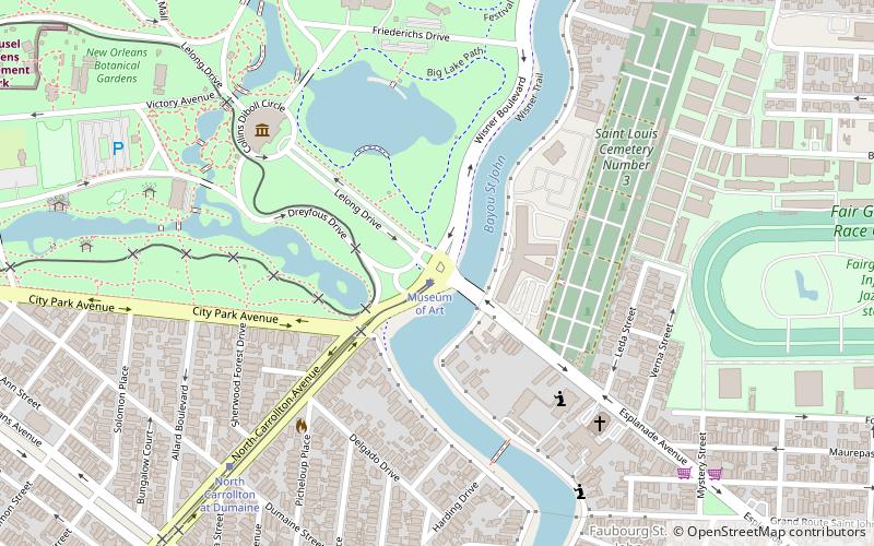
Map
Map
Gallery
Facts and practical information
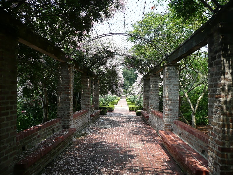
Faubourg St. John, is a neighborhood in New Orleans, Louisiana, located just north of Broad Street at the intersection of Orleans Avenue. Faubourg St. John is approximately 75 city blocks in area and has an average elevation of about one foot above sea level. It was built along what is known as the Esplanade Ridge. The Esplanade Ridge Historic District was added to the National Register of Historic Places in 1980. ()
Coordinates: 29°59'2"N, 90°5'24"W
Address
Lakeview (City Park)New Orleans
ContactAdd
Social media
Add
Getting there by public transportation
Public transportation stops near this location
- Tram
 Tram
Tram
- Calculate routeMuseum of Art 1 min walk
- Calculate routeNorth Carrollton at Saint Louis 17 min walk
Day trips


Frequently Asked Questions (FAQ)
Which popular attractions are close to Faubourg St. John?
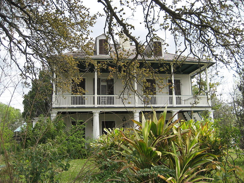
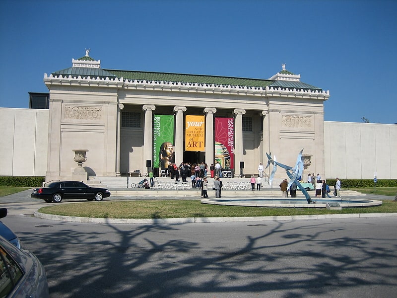
Nearby attractions include General Beauregard Equestrian Statue, New Orleans (1 min walk), Pitot House, New Orleans (5 min walk), New Orleans Museum of Art, New Orleans (7 min walk), New Orleans Botanical Garden, New Orleans (10 min walk).
How to get to Faubourg St. John by public transport?
The nearest stations to Faubourg St. John:
Tram
Tram
- Museum of Art • Lines: 48 (1 min walk)
- North Carrollton at Saint Louis • Lines: 48 (17 min walk)