City Heights, San Diego
Map
Facts and practical information
City Heights is a dense urban community in central San Diego, California, known for its ethnic diversity. The area was previously known as East San Diego. City Heights is located south of Mission Valley and northeast of Balboa Park. ()
Coordinates: 32°44'24"N, 117°5'60"W
Address
Mid-City (City Heights)San Diego
ContactAdd
Social media
Add
Day trips
City Heights – popular in the area (distance from the attraction)
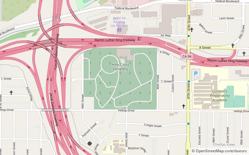
Nearby attractions include: Christian Fellowship Congregational Church, Switzer Canyon, Holy Cross Cemetery, Beth Sarim.
Frequently Asked Questions (FAQ)
Which popular attractions are close to City Heights?
Nearby attractions include Islenair, San Diego (13 min walk), East San Diego, San Diego (23 min walk).
