Christian Fellowship Congregational Church, San Diego
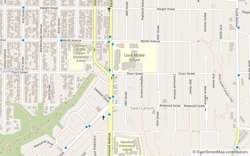
Map
Facts and practical information
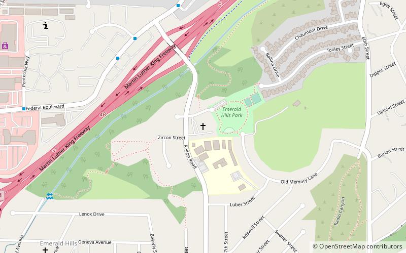
Christian Fellowship Congregational Church is a United Church of Christ church located in southeast San Diego in the community of Emerald Hills. Since 1963 the church has been situated upon the former Emerald Hills Golf Course and Country Club. The congregation is a progressive, inclusive, bible-based Christian community of faith that seeks in every way to recontextualize Christianity through black liberation theology and praxis. The church hosts a weekly Sunday evening Jazz Vespers worship services which attracts a very diverse community; Jazz Vespers @ Christian Fellowship UCC. ()
Coordinates: 32°43'15"N, 117°4'30"W
Address
Southeastern San Diego (Emerald Hills)San Diego
ContactAdd
Social media
Add
Getting there by public transportation
Public transportation stops near this location
- Bus
- Light rail
 Bus
Bus
- Calculate routeEncanto/62nd Street Trolley Station 26 min walk
- Calculate routeEuclid Avenue 26 min walk
- Calculate routeEncanto/62nd Street 26 min walk
- Calculate route47th Street 37 min walk
Day trips


Frequently Asked Questions (FAQ)
How to get to Christian Fellowship Congregational Church by public transport?
The nearest stations to Christian Fellowship Congregational Church:
Bus
Light rail
Bus
- Encanto/62nd Street Trolley Station • Lines: 961 (26 min walk)
Light rail
- Euclid Avenue • Lines: 520 (26 min walk)
- Encanto/62nd Street • Lines: 520 (26 min walk)