Shriners, Lexington
Map
Facts and practical information
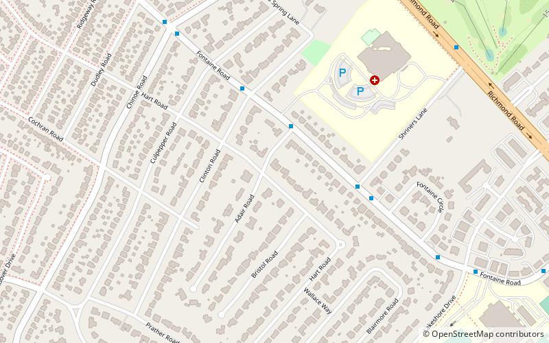
Shriners is a neighborhood in southeastern Lexington, Kentucky, United States. It takes its name from the Shriners Hospital for Children located within it. Its boundaries are Richmond Road to the east, Chinoe Road to the north, Cooper Drive to the west, and Lakeview Drive to the south. ()
Area: 0.45 mi²Coordinates: 38°1'12"N, 84°28'34"W
Address
ShrinersLexington
ContactAdd
Social media
Add
Getting there by public transportation
Public transportation stops near this location
- Bus
 Bus
Bus
- Calculate route202 Woodland @ Maxwell Inbound 38 min walk
- Calculate route201 Woodland @ Euclid Inbound 38 min walk
- Calculate route610 Maxwell @ 460 Outbound 39 min walk
Day trips


Frequently Asked Questions (FAQ)
Which popular attractions are close to Shriners?
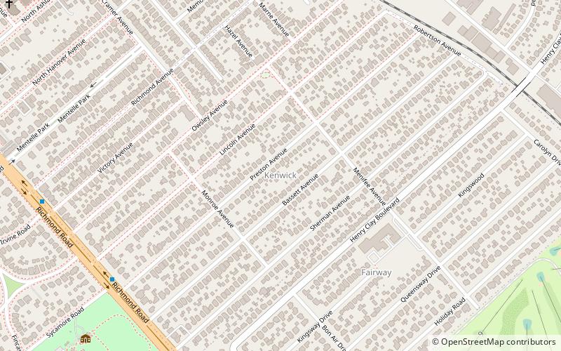
Nearby attractions include Ashland, Lexington (17 min walk), Cathedral of Christ the King, Lexington (17 min walk), Kenwick, Lexington (24 min walk).
How to get to Shriners by public transport?
The nearest stations to Shriners:
Bus
Bus
- 202 Woodland @ Maxwell Inbound • Lines: 16 Southland Dr (38 min walk)
- 201 Woodland @ Euclid Inbound • Lines: 16 Southland Dr (38 min walk)