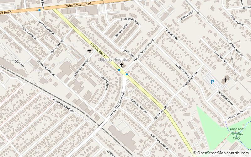
Liberty Heights, Lexington
Map
Facts and practical information
Liberty Heights is a neighborhood in southeastern Lexington, Kentucky, United States. Its boundaries are Winchester Road to the north, New Circle Road to the east, and R. J. Corman railroad tracks to the west and south. ()
Area: 0.73 mi²Coordinates: 38°2'17"N, 84°27'54"W
Address
Boone Creek (Liberty Area)Lexington
ContactAdd
Social media
Add
Day trips


Frequently Asked Questions (FAQ)
Which popular attractions are close to Liberty Heights?
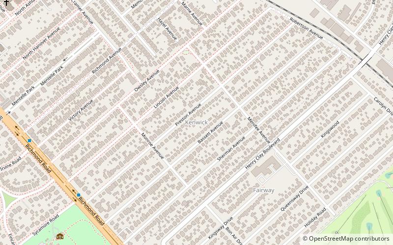
Nearby attractions include The Salon at Henry Clay, Lexington (6 min walk), Kenwick, Lexington (15 min walk).