Klondike, Louisville
Map
Facts and practical information
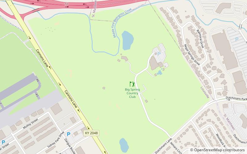
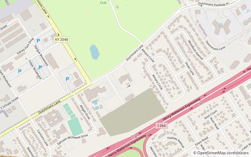
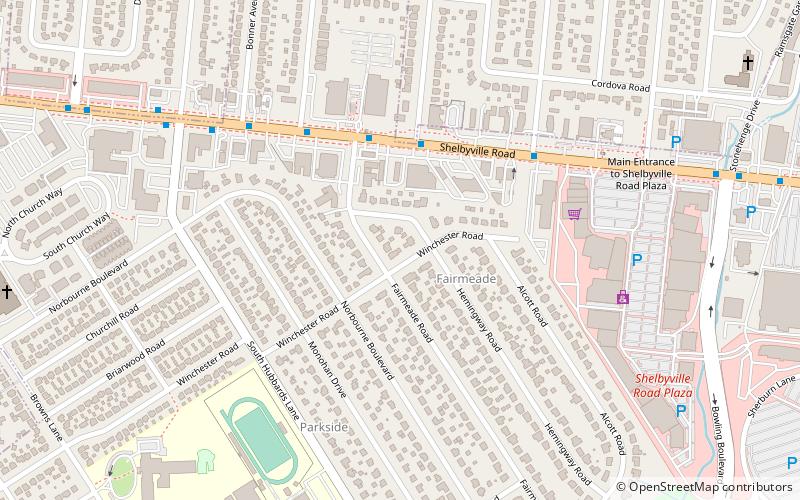
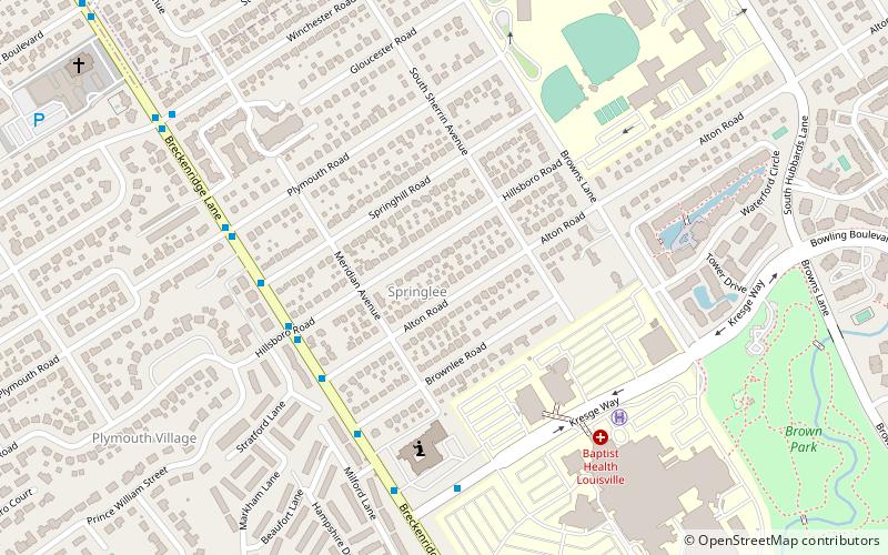
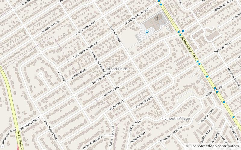
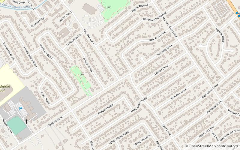
Klondike is a neighborhood in eastern Louisville, Kentucky, United States. Due to being on the edge of the old city limits, its boundaries are irregular, it is south of Hikes Lane and west of Breckenridge Lane. Development began after World War II, with developers Edward Butler and Chester Cooper purchasing and subdividing 45 acres of the Graff farm and part of the Hikes family's Midlane farm. ()
Coordinates: 38°12'19"N, 85°38'6"W
Address
East Louisville (Klondike)Louisville
ContactAdd
Social media
Add
Day trips
Klondike – popular in the area (distance from the attraction)
Nearby attractions include: Mall St. Matthews, Oxmoor Center, Keneseth Israel, Alpine Ice Arena.


