Big Spring Country Club, Louisville
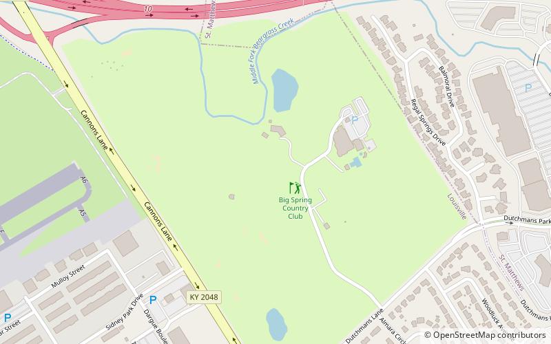
Map
Facts and practical information
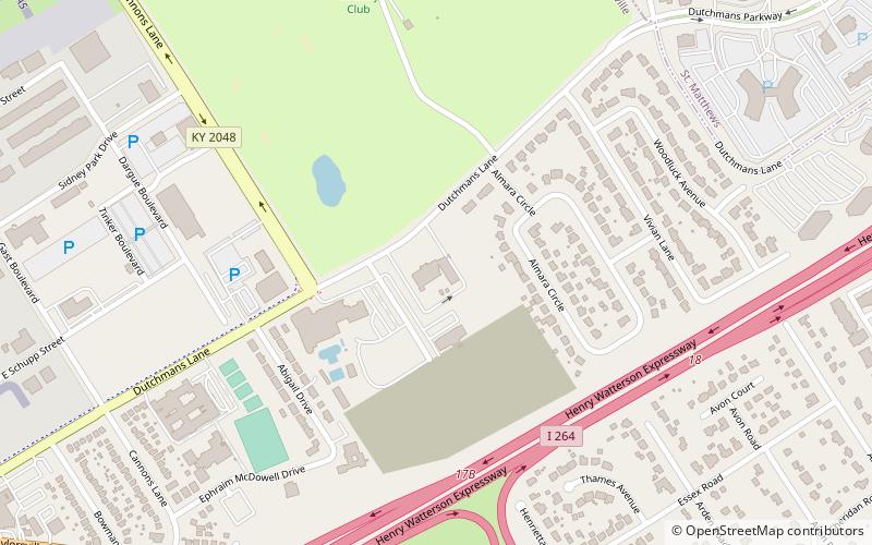
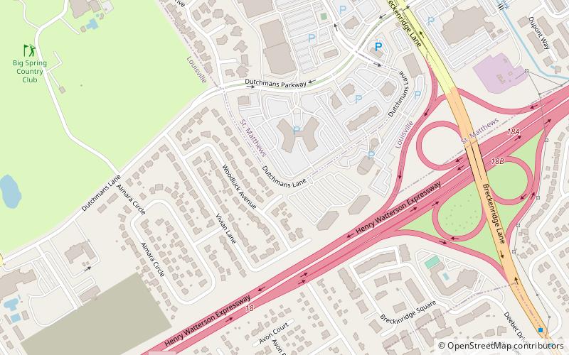
Big Spring Country Club is a country club located in Louisville Metro. Prior to the 2003 city-county merger, the club's location was in an unincorporated part of Jefferson County, Kentucky, bordered by Louisville and St. Matthews. The club borders the Middle Fork of Beargrass Creek and the site of Floyd's Station, a fort built by John Floyd in 1779. It was named Big Spring because of a "big spring" which once furnished water for pioneer settlers in the area. This spring, located just below the 13th green of the golf course, is still flowing today. ()
Coordinates: 38°13'53"N, 85°39'1"W
Day trips
Big Spring Country Club – popular in the area (distance from the attraction)
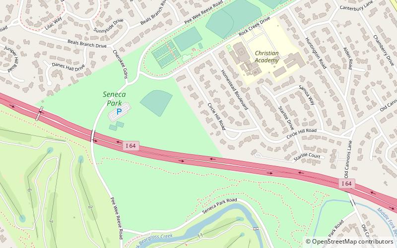
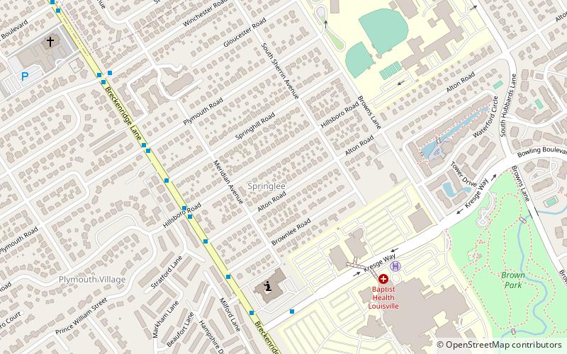
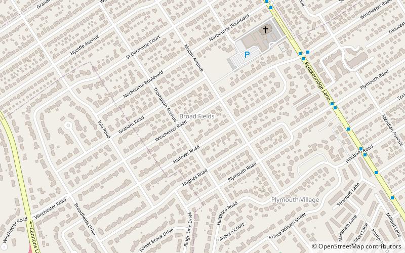
Nearby attractions include: Farmington, Seneca Park, Anshei Sfard, Springlee.
Frequently Asked Questions (FAQ)
Which popular attractions are close to Big Spring Country Club?
Nearby attractions include Anshei Sfard, Louisville (10 min walk), Little Haifa or New Preston St., Louisville (13 min walk), Plymouth Village, Louisville (15 min walk), Broad Fields, Louisville (18 min walk).

