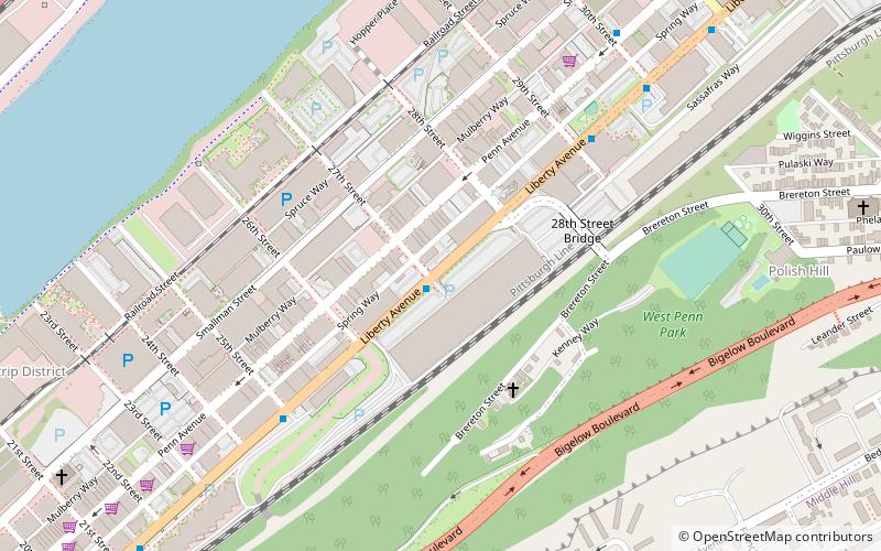
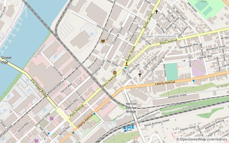
Liberty Avenue, Pittsburgh

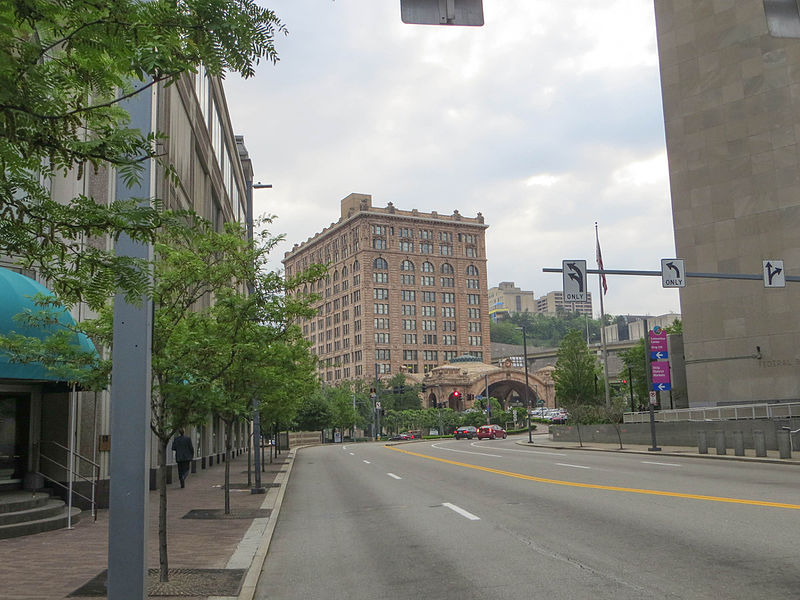
Gallery (2)
Map
Map
Gallery
Facts and practical information
Liberty Avenue is a major thoroughfare starting in downtown Pittsburgh, Pennsylvania, United States, just outside Point State Park. Liberty Ave. runs through Downtown Pittsburgh, the Strip District, Bloomfield, and ends in the neighborhood of Shadyside at its intersection with Centre Avenue and Aiken Avenue. Liberty Avenue is about 4.3 miles long. ()
Coordinates: 40°27'19"N, 79°58'34"W
Address
Central Pittsburgh (Strip District)Pittsburgh
ContactAdd
Social media
Add
Getting there by public transportation
Public transportation stops near this location
- Bus
- Light rail
- Train
 Bus
Bus
- Calculate routeHerron Station 15 min walk
- Calculate route31st Street Bridge Ramp at 31st St Bridge 17 min walk
- Calculate routeEast Ohio St at Heinz St 23 min walk
- Calculate routePittsburgh Union Station 29 min walk
- Calculate routeSteel Plaza 37 min walk
Day trips


Frequently Asked Questions (FAQ)
Which popular attractions are close to Liberty Avenue?
Nearby attractions include Pittsburgh Ballet Theatre, Pittsburgh (6 min walk), Armstrong Cork Company, Pittsburgh (10 min walk), Polish Hill, Pittsburgh (10 min walk), Springfield Public School, Pittsburgh (11 min walk).
How to get to Liberty Avenue by public transport?
The nearest stations to Liberty Avenue:
Bus
Train
Light rail
Bus
- Herron Station (15 min walk)
- 31st Street Bridge Ramp at 31st St Bridge • Lines: 1, 2 (17 min walk)
Train
- Pittsburgh Union Station (29 min walk)
Light rail
- Steel Plaza • Lines: Blue, Red, Silver (37 min walk)