Trek Zone

Clays Ferry Bridge, Richmond

#2 among attractions in Richmond

Bridge
Clays Ferry Bridge location map
Map

Facts and practical information
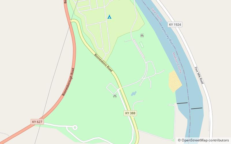
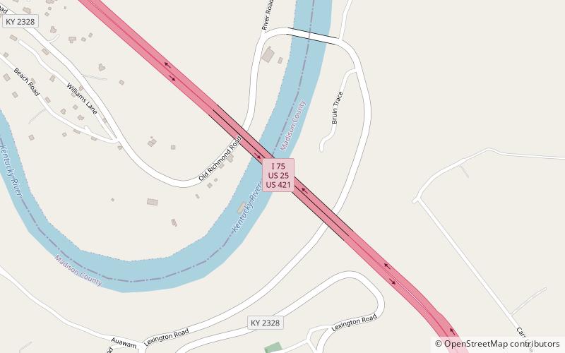
Coordinates: 37°53'2"N, 84°20'21"W
Address

Richmond United States

ContactAdd
Social media
Add
Day trips

Clays Ferry Bridge – popular in the area (distance from the attraction)

Nearby attractions include: Fort Boonesborough State Park, White Hall State Historic Site, Boone Station, Shelby Family Houses.

  • fort boonesborough state park richmond location map
    4 miE
  • white hall state historic site richmond3.6 miS
  • boone station lexington4.9 miN
  • shelby family houses lexington location map
    5.8 miNW

Where to next? Visit kentucky Kentucky region page or discover the top tourist attractions in United States.