Shelby Family Houses, Lexington
#151 among attractions in Lexington
Facts and practical information
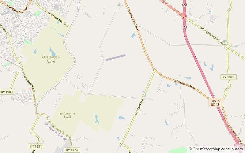
The Shelby Family Houses near Lexington, Kentucky are five houses that together were listed on the National Register of Historic Places in 1978. ()
Old Richmond Road CorridorLexington United States
Shelby Family Houses – popular in the area (distance from the attraction)
Nearby attractions include: The Mall at Lexington Green, Clays Ferry Bridge, Boone Station, Artique Gallery.
 Shopping, Shopping centre
The Mall at Lexington Green, Lexington
174 min walk • The Mall at Lexington Green is a hybrid enclosed shopping mall and outdoor lifestyle center in Lexington, Kentucky. Adjacent to Target and Fayette Mall, Lexington Green is ideally located at the intersection of New Circle and Nicholasville Roads just north of the region's largest retail development.
 Bridge
Clays Ferry Bridge, Richmond
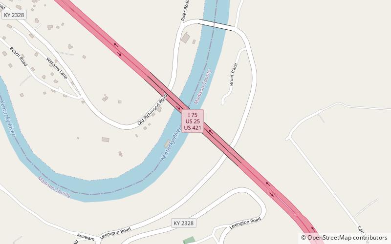
149 min walk • The Clay's Ferry Bridge is a combination of three former bridges combined into one bridge. It carries Interstate 75 along with US 25 and US 421 across the Kentucky River between Madison and Fayette counties.
 Park
ParkBoone Station, Lexington
100 min walk • Boone Station State Historic Site was a 46-acre Kentucky State Historic Site on Boone's Creek near Athens in Fayette County, Kentucky, USA.
 37°59'40"N • 84°31'29"W
Artique Gallery, Lexington
174 min walk • Museum, Paint and pottery studios, Art gallery
 Church
Walnut Hill Presbyterian Church, Lexington
57 min walk • Walnut Hill Presbyterian Church is a historic Presbyterian church meeting house in Lexington, Kentucky. The church building was constructed in 1801 on land donated by Mary Todd Lincoln's grandfather Levi Todd.
 Neighbourhood
Zandale, Lexington
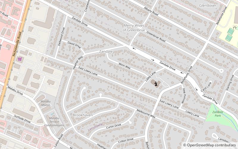
171 min walk • Zandale is a neighborhood in southeastern Lexington, Kentucky, United States. Its boundaries are Nicholasville Road to the west, Zandale Drive to the north, Bellefonte Drive to the east, and a combination of Larkin Road, Heather Way, Melbourne Way, and Lowry Lane to the south.
 Neighbourhood
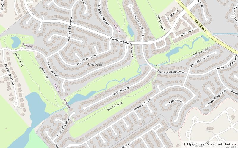
Andover Hills, Lexington
107 min walk • Andover Hills is a subdivision in southeastern Lexington, Kentucky, United States. Its boundaries are Todds Road to the east, Hays Boulevard to the south, Jacobson Park to the west, and Mapleleaf Park to the north.
 Neighbourhood
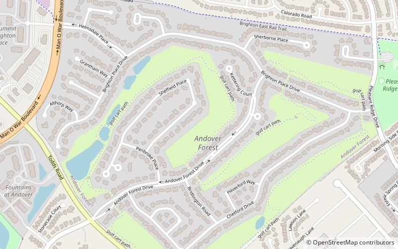
Andover Forest, Lexington
129 min walk • Andover Forest is a neighborhood in southeastern Lexington, Kentucky, United States. Its boundaries are Man o' War Boulevard to the north, former railroad tracks to the north, Pleasant Ridge Drive to the east, and McFarland Lane to the south.
 Neighbourhood
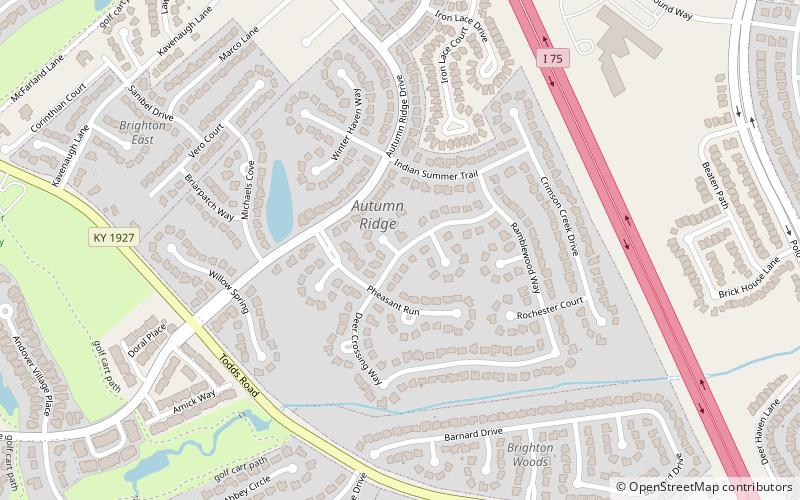
Autumn Ridge, Lexington
118 min walk • Autumn Ridge is a neighborhood in southeastern Lexington, Kentucky, United States. Its boundaries are I-75 to the east, Barnard Drive to the south, Todds Road to the west, and Vero Court to the north.
 Neighbourhood
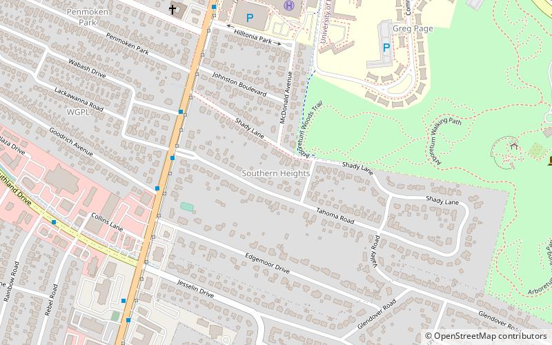
Southern Heights, Lexington
184 min walk • Southern Heights is a neighborhood in southwestern Lexington, Kentucky, United States. Its boundaries are the University of Kentucky Arboretum and Central Baptist Hospital to the north, Nicholasville Road to the west, and Edgemoor Drive/Blueberry Road to the south.
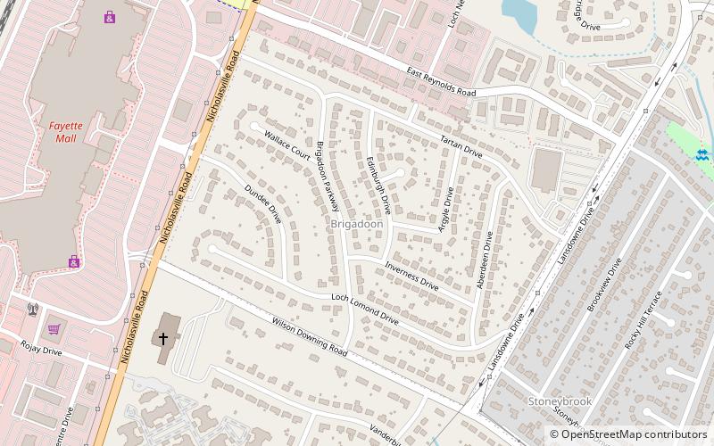 Neighbourhood
Brigadoon, Lexington
163 min walk • Brigadoon is a neighborhood in southeastern Lexington, Kentucky, United States. its boundaries are Reynolds Road to the north, Lansdowne Drive to the east, Wilson Downing Road to the south, and Nicholasville Road to the west.