89th Street, New York City
Map

Gallery

Facts and practical information
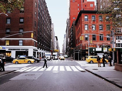
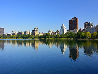
89th Street is a one-way street running westbound from the East River to Riverside Drive, overlooking the Hudson River, in the New York City borough of Manhattan. The street is interrupted by Central Park. It runs through the Upper West Side, Carnegie Hill and Yorkville neighborhoods. ()
Coordinates: 40°46'60"N, 73°57'31"W
Address
Upper Manhattan (Upper East Side)New York City
ContactAdd
Social media
Add
Day trips
89th Street – popular in the area (distance from the attraction)
Nearby attractions include: Metropolitan Museum of Art, Central Park, Madison Avenue, Solomon R. Guggenheim Museum.
Frequently Asked Questions (FAQ)
Which popular attractions are close to 89th Street?
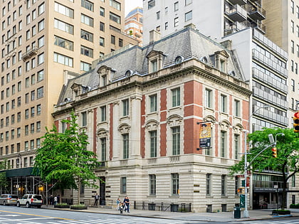
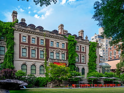
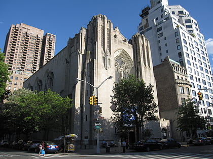
Nearby attractions include National Academy of Design, New York City (1 min walk), Solomon R. Guggenheim Museum, New York City (1 min walk), Church of the Heavenly Rest, New York City (1 min walk), Cooper Hewitt, New York City (3 min walk).
How to get to 89th Street by public transport?
The nearest stations to 89th Street:
Bus
Metro
Bus
- West 86th Street & Transverse Road • Lines: M86 (8 min walk)
- East 96th Street & 5th Avenue • Lines: M106, M96 (9 min walk)
Metro
- 86th Street • Lines: <6>, 4, 5, 6, A, B, C, Q (15 min walk)
- 96th Street • Lines: <6>, 4, 6 (12 min walk)

 Subway
 Manhattan Buses

