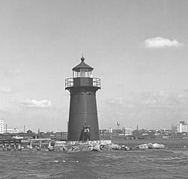
Barnum–Palliser Historic District, Bridgeport
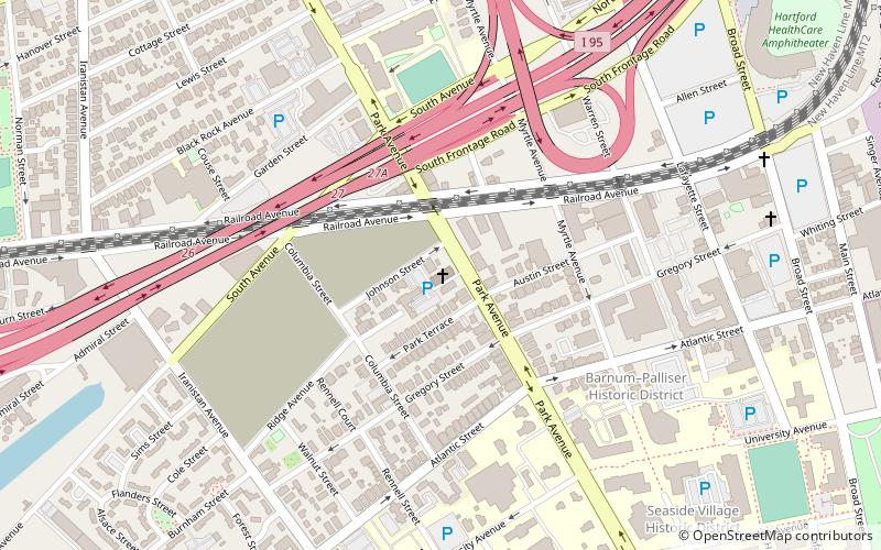
Map
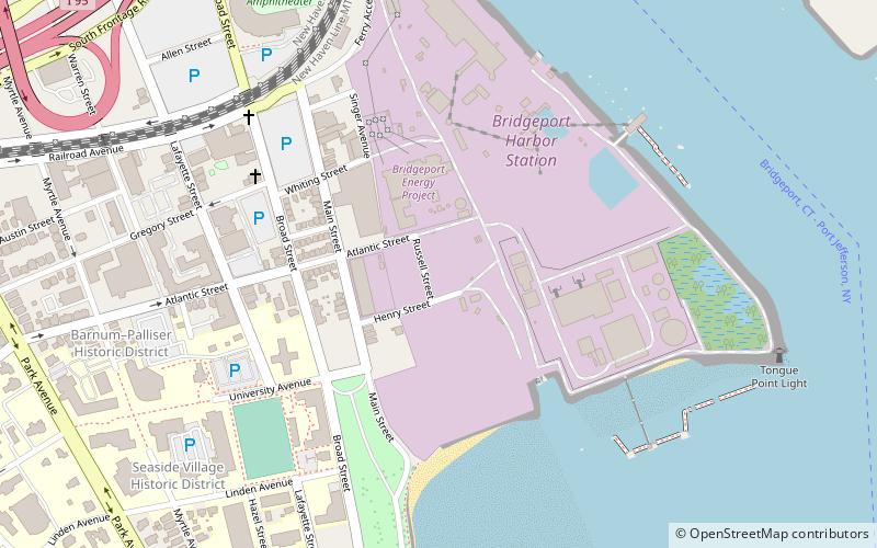
Map

Facts and practical information
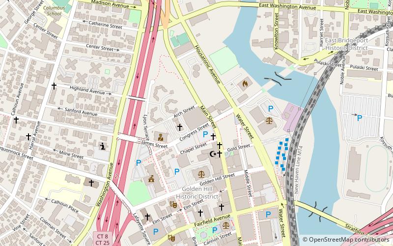
The Barnum–Palliser Historic District is a 5.9-acre residential historic district in Bridgeport, Connecticut. The area, bounded roughly by Austin Street, Myrtle Avenue, Atlantic Street, and Park Avenue, was developed by P.T. Barnum to provide worker housing in the 1880s. Many of the houses were designed by Palliser, Palliser & Co. and are interesting examples of Italianate, Queen Anne, and Stick/Eastlake architecture. The district was listed on the National Register of Historic Places in 1982. ()
Coordinates: 41°10'4"N, 73°11'3"W
Address
South EndBridgeport
ContactAdd
Social media
Add
Day trips
Barnum–Palliser Historic District – popular in the area (distance from the attraction)
Nearby attractions include: Webster Bank Arena, Nathaniel Wheeler Memorial Fountain, Barnum Museum, McLevy Hall.
Frequently Asked Questions (FAQ)
Which popular attractions are close to Barnum–Palliser Historic District?
Nearby attractions include Mary and Eliza Freeman Houses, Bridgeport (5 min walk), Tongue Point Light, Bridgeport (10 min walk), Magnus Wahlstrom Library, Bridgeport (10 min walk), Webster Bank Arena, Bridgeport (11 min walk).
How to get to Barnum–Palliser Historic District by public transport?
The nearest stations to Barnum–Palliser Historic District:
Train
Bus
Train
- Bridgeport (19 min walk)
Bus
- C2 • Lines: 8 (24 min walk)
- A1 • Lines: 1 (24 min walk)


