Woodland-Larchmere Commercial Historic District, Cleveland
Map

Map

Facts and practical information
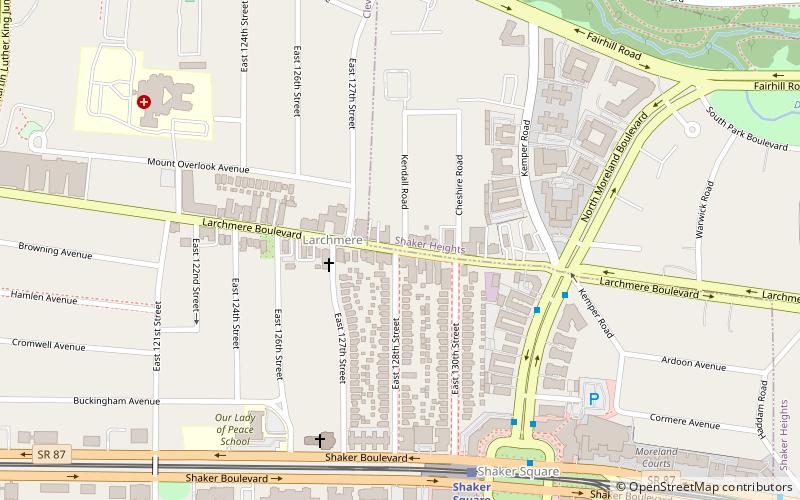
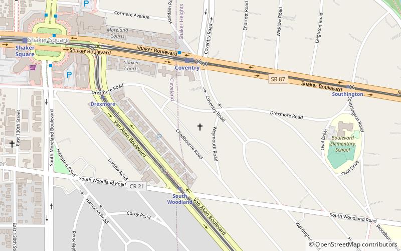
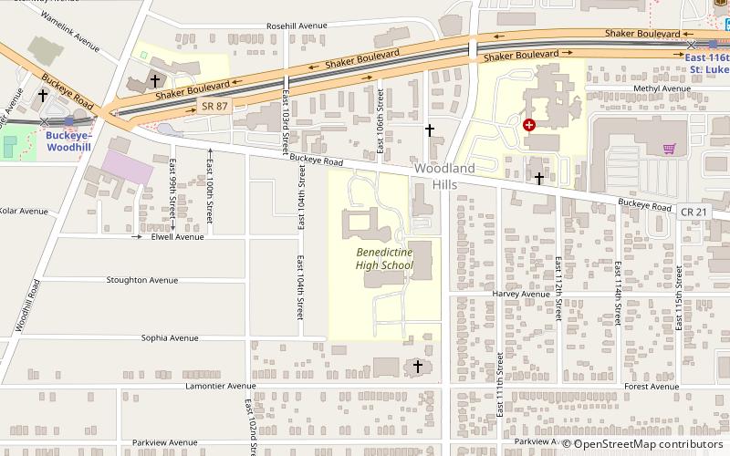
The Woodland-Larchmere Commercial Historic District is a historic district which was listed on the National Register of Historic Places in 2015. It is spans the border of Cleveland, Ohio and Shaker Heights, Ohio, in Cuyahoga County, Ohio. ()
Coordinates: 41°29'15"N, 81°35'35"W
Address
Buckeye - ShakerCleveland
ContactAdd
Social media
Add
Day trips
Woodland-Larchmere Commercial Historic District – popular in the area (distance from the attraction)
Nearby attractions include: Nature Center at Shaker Lakes, St. Paul's Episcopal Church, Plymouth Church of Shaker Heights, St. Andrew Abbey.
Frequently Asked Questions (FAQ)
Which popular attractions are close to Woodland-Larchmere Commercial Historic District?
Nearby attractions include Loganberry Books, Cleveland (3 min walk), Buckeye-Shaker, Cleveland (8 min walk), Fairfax, Cleveland (8 min walk), Fairhill Road Village, Cleveland (12 min walk).
How to get to Woodland-Larchmere Commercial Historic District by public transport?
The nearest stations to Woodland-Larchmere Commercial Historic District:
Light rail
Bus
Metro
Light rail
- Shaker Square • Lines: 67Ax, 67AX Blue, Blue, Green (7 min walk)
- Drexmore • Lines: 67AX Blue, Blue (12 min walk)
Bus
- East 116th (15 min walk)
- Cedar–University • Lines: 8 (29 min walk)
Metro
- Cedar–University • Lines: Red (28 min walk)


