Fourth Ward, Houston
Map
Facts and practical information
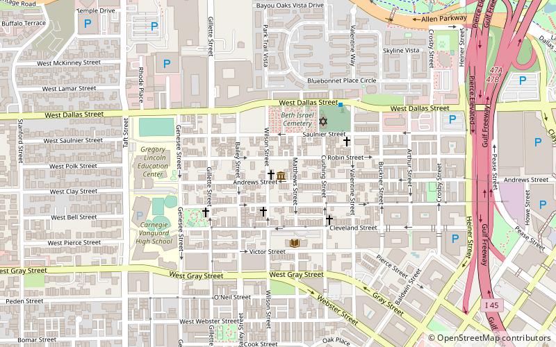
Fourth Ward is one of the historic six wards of Houston, Texas, United States. The Fourth Ward is located inside the 610 Loop directly west of and adjacent to Downtown Houston. The Fourth Ward is the site of Freedmen's Town, which was a post-U.S. Civil War community of African-Americans. ()
Coordinates: 29°45'22"N, 95°22'52"W
Address
Inner Loop (Fourth Ward)Houston
ContactAdd
Social media
Add
Getting there by public transportation
Public transportation stops near this location
- Bus
- Light rail
- Train
 Bus
Bus
- Calculate routeFlixBus Houston 14 min walk
- Calculate routeDowntown Transit Center 19 min walk
- Calculate routeGreyhound Bus Lines 21 min walk
- Calculate routeDowntown Transit Center 20 min walk
- Calculate routeBell 21 min walk
- Calculate routeMcGowen 22 min walk
- Calculate routeTheater District 24 min walk
- Calculate routeHouston 29 min walk
Day trips


Frequently Asked Questions (FAQ)
Which popular attractions are close to Fourth Ward?
Nearby attractions include African American Library at the Gregory School, Houston (4 min walk), Founders Memorial Cemetery, Houston (4 min walk), Bethel Baptist Church, Houston (8 min walk), Federal Reserve Bank of Dallas Houston Branch, Houston (9 min walk).
How to get to Fourth Ward by public transport?
The nearest stations to Fourth Ward:
Bus
Light rail
Train
Bus
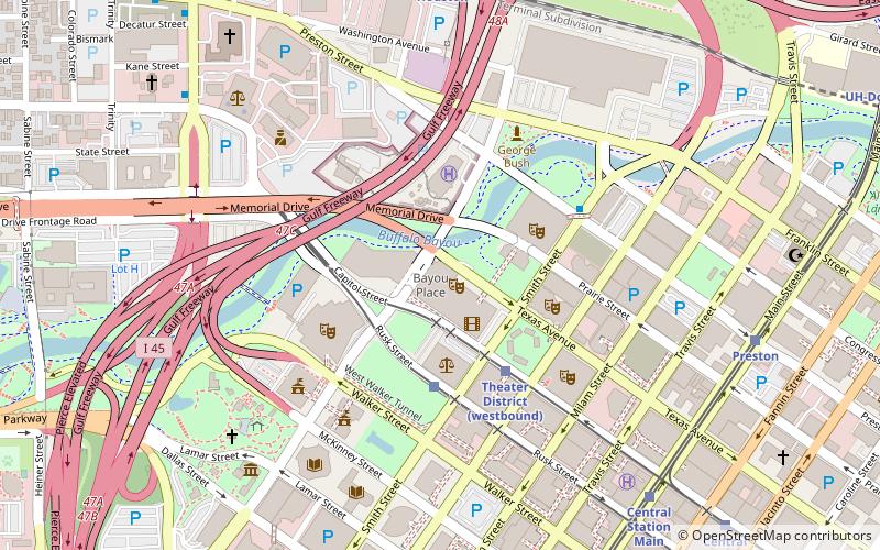
- FlixBus Houston • Lines: 2210, 2211, 2240, 2271 (14 min walk)
- Downtown Transit Center (19 min walk)
Light rail
- Downtown Transit Center • Lines: Red (20 min walk)
- Bell • Lines: Red (21 min walk)
Train
- Houston (29 min walk)