Andover Street Historic District, Lowell
Map

Map

Facts and practical information
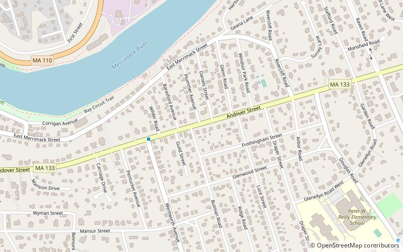
The Andover Street Historic District is a linear residential historic district in the Belvidere neighborhood of eastern Lowell, Massachusetts. The district encompasses large, fashionable houses and estates that were built between the 1860s and the 1930s. It includes properties at 245—834 Andover Street, and at 569 and 579 East Merrimack Street. The district was listed on the National Register of Historic Places in 2000. ()
Coordinates: 42°38'37"N, 71°17'11"W
Address
Lowell (Belvidere)Lowell
ContactAdd
Social media
Add
Day trips
Andover Street Historic District – popular in the area (distance from the attraction)
Nearby attractions include: Boott Mills, Lowell National Historical Park, Cawley Memorial Stadium, Lowell Memorial Auditorium.
Frequently Asked Questions (FAQ)
Which popular attractions are close to Andover Street Historic District?
Nearby attractions include Belvidere Hill Historic District, Lowell (13 min walk), Washington Square Historic District, Lowell (16 min walk), Holy Trinity Parish, Lowell (18 min walk), Pow-Wow Oak Tree, Lowell (19 min walk).
How to get to Andover Street Historic District by public transport?
The nearest stations to Andover Street Historic District:
Bus
Tram
Bus
- Father Norton Manor • Lines: 9 (20 min walk)
- Church St and Lawrence St • Lines: 3 (24 min walk)
Tram
- Lower Locks • Lines: Lowell National Park Trolley (28 min walk)
- Boott Mills • Lines: Lowell National Park Trolley (29 min walk)


