Hope Point Tower, Providence
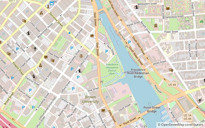
Map
Facts and practical information
Hope Point Tower is a proposed skyscraper project in Providence, Rhode Island which consists of one 46-story residential tower. ()
Coordinates: 41°49'15"N, 71°24'28"W
Address
Downtown ProvidenceProvidence
ContactAdd
Social media
Add
Getting there by public transportation
Public transportation stops near this location
- Bus
- Train
 Bus
Bus
- Calculate routeDorrance and Pine 5 min walk
- Calculate routeKennedy Plaza Intermodal Transportation Center 9 min walk
- Calculate routeKennedy Plaza Stop V 10 min walk
- Calculate routeKennedy Plaza Stop Y 11 min walk
- Calculate routeProvidence 17 min walk
Day trips


Frequently Asked Questions (FAQ)
Which popular attractions are close to Hope Point Tower?
Nearby attractions include Michael S. Van Leesten Memorial Bridge, Providence (4 min walk), Johnson & Wales University, Providence (5 min walk), Waterplace Park, Providence (6 min walk), Jewelry District, Providence (6 min walk).
How to get to Hope Point Tower by public transport?
The nearest stations to Hope Point Tower:
Bus
Train
Bus
- Dorrance and Pine • Lines: 1, 3, 3A, 3B, 62 (5 min walk)
- Kennedy Plaza Intermodal Transportation Center (9 min walk)
Train
- Providence (17 min walk)