Michael S. Van Leesten Memorial Bridge, Providence

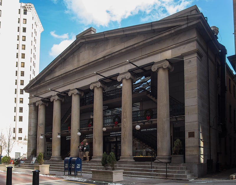
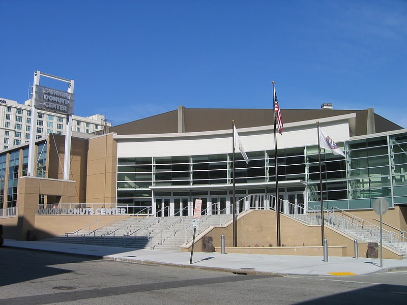
Gallery (5)
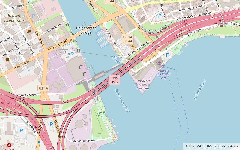
Map

Map

Gallery
Facts and practical information
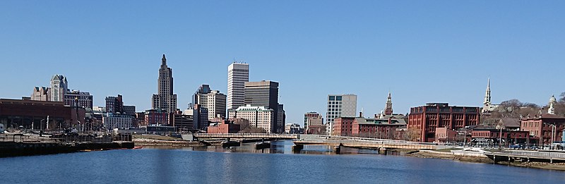
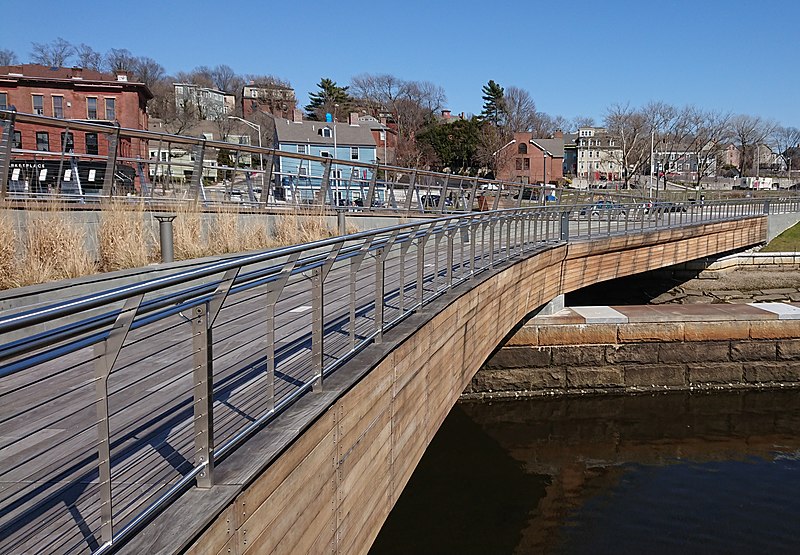
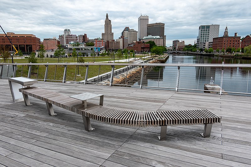
The Michael S. Van Leesten Memorial Bridge is a footbridge crossing the Providence River located in the city of Providence, Rhode Island. The bridge connects Providence's Fox Point neighborhood to the city's Jewelry District. Originally known as the Providence River Pedestrian Bridge, in July 2020 it was renamed in honor of Michael S. Van Leesten. ()
Coordinates: 41°49'13"N, 71°24'19"W
Address
College HillProvidence
ContactAdd
Social media
Add
Getting there by public transportation
Public transportation stops near this location
- Bus
- Train
 Bus
Bus
- Calculate routeDorrance and Pine 9 min walk
- Calculate routeKennedy Plaza Intermodal Transportation Center 12 min walk
- Calculate routeKennedy Plaza Stop V 13 min walk
- Calculate routeKennedy Plaza Stop Y 14 min walk
- Calculate routeProvidence 19 min walk
Day trips


Frequently Asked Questions (FAQ)
Which popular attractions are close to Michael S. Van Leesten Memorial Bridge?
Nearby attractions include Thomas F. Hoppin House, Providence (4 min walk), Governor Stephen Hopkins House, Providence (4 min walk), Hope Point Tower, Providence (4 min walk), Point Street Bridge, Providence (5 min walk).
How to get to Michael S. Van Leesten Memorial Bridge by public transport?
The nearest stations to Michael S. Van Leesten Memorial Bridge:
Bus
Train
Bus
- Dorrance and Pine • Lines: 1, 3, 3A, 3B, 62 (9 min walk)
- Kennedy Plaza Intermodal Transportation Center (12 min walk)
Train
- Providence (19 min walk)