National Churchill Library and Center, Washington D.C.
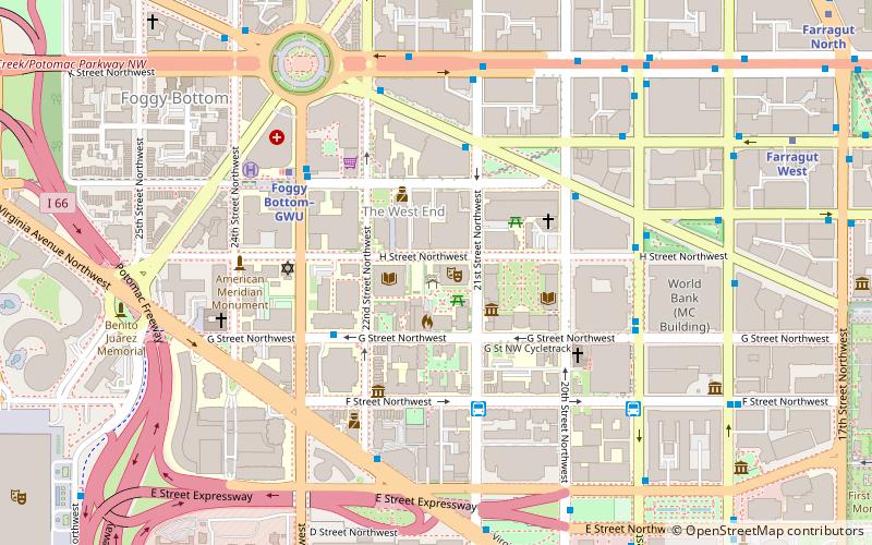
Map
Facts and practical information
The National Churchill Leadership Center formerly known as the National Churchill Library and Center is a public library and museum at the George Washington University in Washington, D.C. dedicated to the life and work of former British Prime Minister Winston Churchill. It is located on the ground level of the GWU's Gelman Library. ()
Coordinates: 38°53'58"N, 77°2'51"W
Address
Northwest Washington (Foggy Bottom - GWU - West End)Washington D.C.
ContactAdd
Social media
Add
Getting there by public transportation
Public transportation stops near this location
- Metro
- Bus
 Metro
Metro
- Calculate route21st St & F St Northwest 4 min walk
- Calculate route19th St & F St Northwest 7 min walk
- Calculate routeMTA Bus Stop 8 min walk
- Calculate routeFoggy Bottom–GWU 5 min walk
- Calculate routeFarragut West 11 min walk
Day trips
National Churchill Library and Center – popular in the area (distance from the attraction)
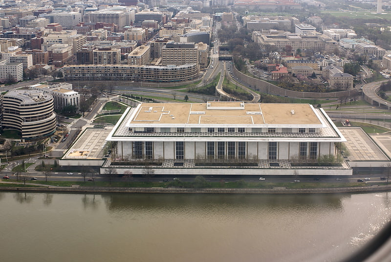
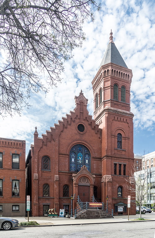
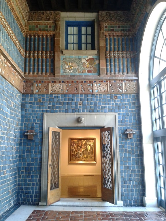
Nearby attractions include: John F. Kennedy Center for the Performing Arts, Concordia German Evangelical Church and Rectory, Art Museum of the Americas, M Street.


Frequently Asked Questions (FAQ)
Which popular attractions are close to National Churchill Library and Center?
Nearby attractions include Lisner Auditorium, Washington D.C. (1 min walk), Margaret Wetzel House, Washington D.C. (1 min walk), Gelman Library, Washington D.C. (2 min walk), Corcoran Hall, Washington D.C. (2 min walk).
How to get to National Churchill Library and Center by public transport?
The nearest stations to National Churchill Library and Center:
Bus
Metro
Bus
- 21st St & F St Northwest (4 min walk)
- 19th St & F St Northwest (7 min walk)
Metro
- Foggy Bottom–GWU • Lines: Bl, Or, Sv (5 min walk)
- Farragut West • Lines: Bl, Or, Sv (11 min walk)