Lents, Portland
Map
Gallery
Facts and practical information
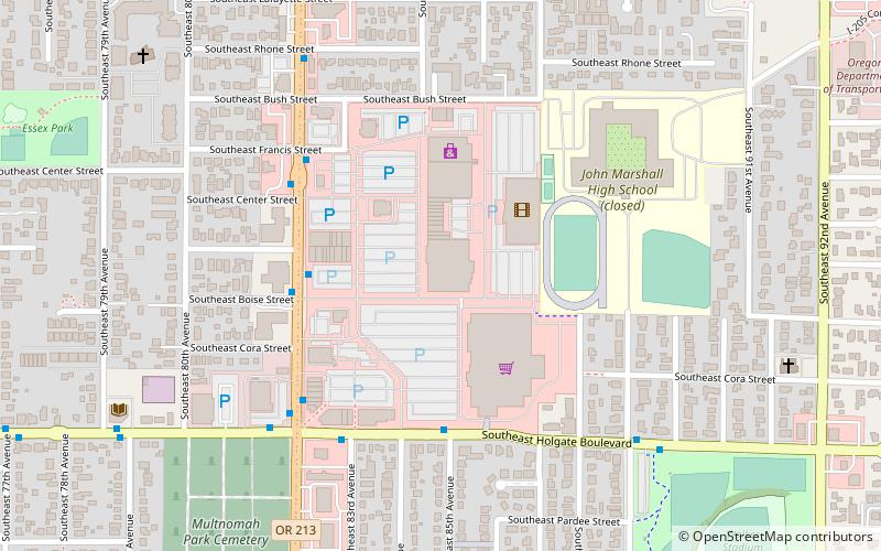
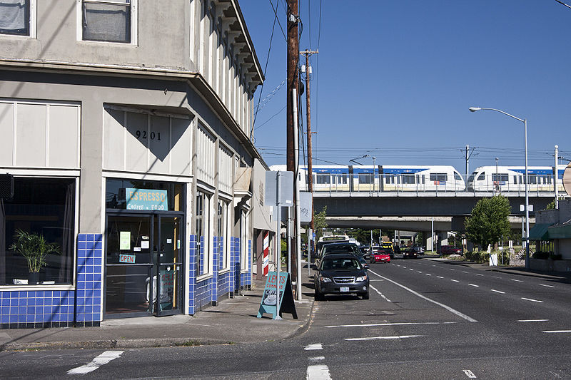
The Lents neighborhood in the Southeast section of Portland, Oregon is bordered by SE Powell Blvd. on the north, the Clackamas County line or City of Portland line on the south, SE 82nd Ave. to the west, and roughly SE 112th on the east. The NE corner overlaps with the Powellhurst-Gilbert neighborhood. In addition to Powellhurst-Gilbert on the north and east, Lents also borders Foster-Powell, Mt. Scott-Arleta, and Brentwood-Darlington on the west and Pleasant Valley on the east. ()
Coordinates: 45°28'47"N, 122°33'54"W
Day trips
Lents – popular in the area (distance from the attraction)
Nearby attractions include: Mt. Scott Park, Eastport Plaza, Beggars Tick Wildlife Refuge, Ed Benedict Park.
Frequently Asked Questions (FAQ)
How to get to Lents by public transport?
The nearest stations to Lents:
Bus
Light rail
Bus
- Southeast Foster & 94th • Lines: 10, 14, 73 (3 min walk)
- Southeast Foster & 97th • Lines: 10, 73 (4 min walk)
Light rail
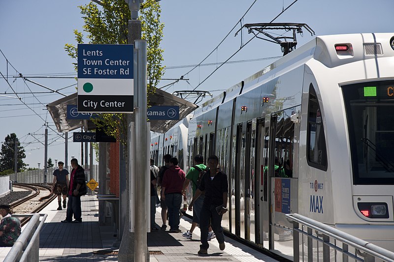
- Lents Town Center/Southeast Foster Road • Lines: Green (3 min walk)
- Southeast Powell Boulevard • Lines: Green (29 min walk)


