Sharswood, Philadelphia
Map
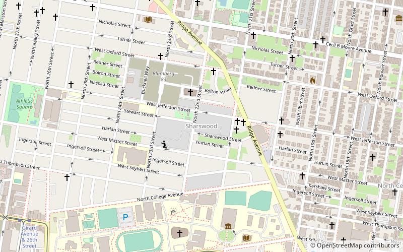
Map

Facts and practical information
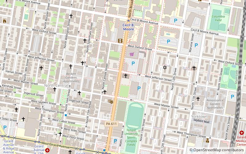
Sharswood is a small neighborhood in the North Philadelphia section of the city of Philadelphia, Pennsylvania. It is located to the east of Brewerytown, north of Girard College, west of Ridge Avenue, and south of the Norman Blumberg apartment towers. It is often grouped with Brewerytown, as in the Brewerytown-Sharswood Community Civic Association, and the Brewerytown-Sharswood NTI Planning Area. ()
Coordinates: 39°58'37"N, 75°10'17"W
Address
Lower North (Sharswood)Philadelphia
ContactAdd
Social media
Add
Day trips
Sharswood – popular in the area (distance from the attraction)
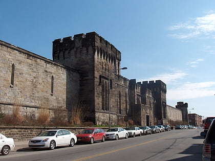
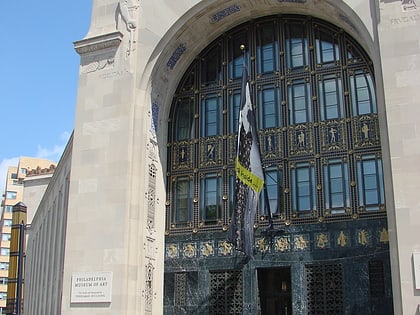
Nearby attractions include: Eastern State Penitentiary, Perelman Building, Mural Arts Program, Edwin Forrest House.
Frequently Asked Questions (FAQ)
Which popular attractions are close to Sharswood?
Nearby attractions include McDowell Memorial Presbyterian Church, Philadelphia (6 min walk), Muhlenberg School, Philadelphia (12 min walk), Lower North Philadelphia, Philadelphia (13 min walk), Francisville, Philadelphia (13 min walk).
How to get to Sharswood by public transport?
The nearest stations to Sharswood:
Tram
Metro
Train
Bus
Tram
- Girard Avenue & Corinthian Avenue • Lines: 15 (8 min walk)
- South College Avenue & 24th Street • Lines: 15 (11 min walk)
Metro
- Cecil B. Moore • Lines: Bsl (19 min walk)
- Girard • Lines: Bsl (19 min walk)
Train
- Temple University (31 min walk)
- North Broad (36 min walk)
Bus
- SEPTA 33rd & Dauphin Bus Terminal (33 min walk)

 SEPTA Regional Rail