South Lake Union, Seattle
Map
Gallery
Facts and practical information
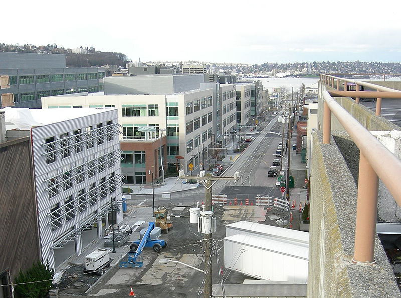
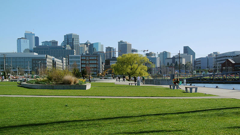
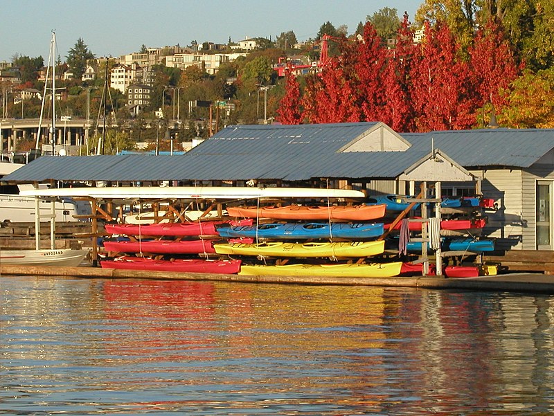
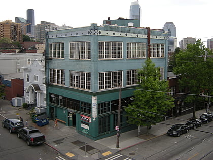
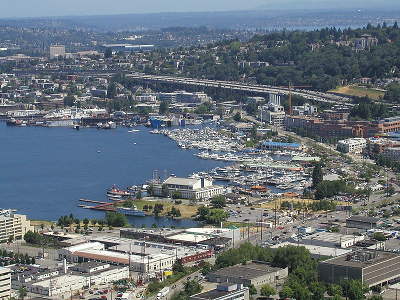
South Lake Union is a neighborhood in Seattle, Washington, so named because it is at the southern tip of Lake Union. ()
Coordinates: 47°37'28"N, 122°19'54"W
Address
Cascade (South Lake Union)Seattle
ContactAdd
Social media
Add
Day trips
South Lake Union – popular in the area (distance from the attraction)
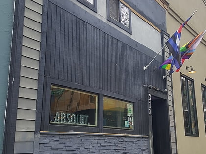
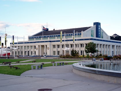
Nearby attractions include: R Place, Seattle Eagle, Lake Union Park, Capitol Hill.
Frequently Asked Questions (FAQ)
Which popular attractions are close to South Lake Union?
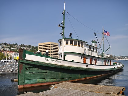
Nearby attractions include Saint Spiridon Orthodox Cathedral, Seattle (5 min walk), Center for Wooden Boats, Seattle (7 min walk), Immanuel Lutheran Church, Seattle (7 min walk), MV Westward, Seattle (8 min walk).
How to get to South Lake Union by public transport?
The nearest stations to South Lake Union:
Bus
Tram
Light rail
Train
Trolleybus
Ferry
Bus
- Valley St & Fairview Ave N • Lines: C (4 min walk)
- Fairview Ave N & Thomas St • Lines: 577, 578 (8 min walk)
Tram
- Fairview & Campus Drive • Lines: South Lake Union Streetcar (6 min walk)
- Lake Union Park • Lines: South Lake Union Streetcar (7 min walk)
Light rail
- Capitol Hill • Lines: 1 (17 min walk)
- Westlake • Lines: 1 (24 min walk)
Train
- Seattle Center (23 min walk)
- Westlake Center (23 min walk)
Trolleybus
- 3rd Ave & Virginia St • Lines: 1, 13, 2, 3, 4 (24 min walk)
Ferry
- Seattle • Lines: Seattle-Victoria (33 min walk)


