Truman Parkway, Boston
Map

Map

Facts and practical information
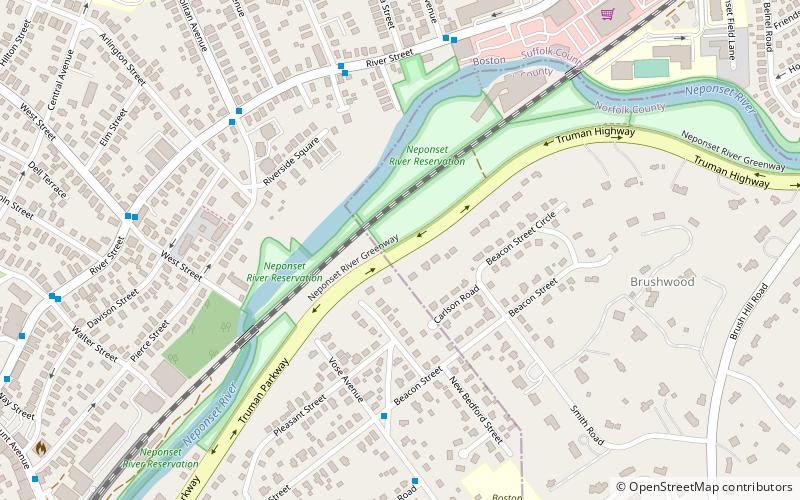
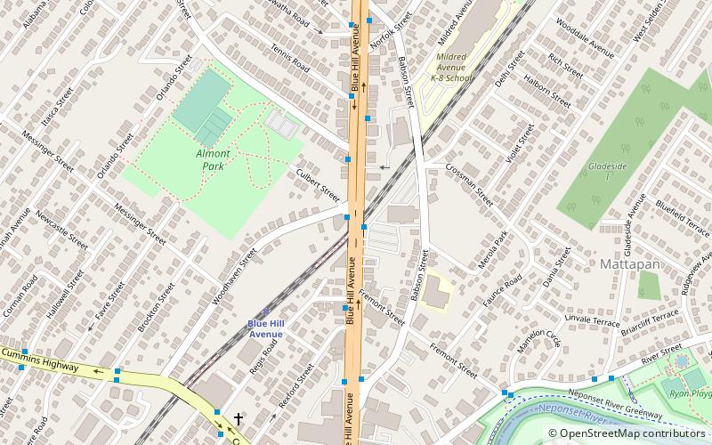
The Truman Parkway is a historic parkway in Milton and southern Boston, Massachusetts. It runs along the southern boundary of a portion of the Neponset River Reservation and serves as a connection between the Neponset Valley Parkway and the Blue Hills Parkway. The parkway was built in 1931 and added to the National Register of Historic Places in 2005. ()
Elevation: 69 ft a.s.l.Coordinates: 42°15'30"N, 71°6'44"W
Address
Milton (Brush Hill)Boston
ContactAdd
Social media
Add
Day trips
Truman Parkway – popular in the area (distance from the attraction)
Nearby attractions include: George Wright Golf Course, First Congregational Church of Hyde Park, Blue Hills Parkway, Christ Church.
Frequently Asked Questions (FAQ)
Which popular attractions are close to Truman Parkway?
Nearby attractions include First Congregational Church of Hyde Park, Boston (11 min walk), Christ Church, Boston (14 min walk), Brush Hill Historic District, Milton (23 min walk).
How to get to Truman Parkway by public transport?
The nearest stations to Truman Parkway:
Train
Light rail
Train
- Fairmount (13 min walk)
- Hyde Park (19 min walk)
Light rail
- Mattapan • Lines: M (31 min walk)

 MBTA Subway


