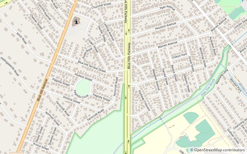
Blue Hills Parkway, Boston

Gallery (1)
Map
Map
Facts and practical information
Blue Hills Parkway is a historic parkway that runs in a straight line from a crossing of the Neponset River, at the south border of Boston to the north edge of the Blue Hills Reservation in Milton, Massachusetts. It was built in 1893 to a design by the noted landscape architect, Charles Eliot, who is perhaps best known for the esplanades along the Charles River. The parkway is a connecting road between the Blue Hills Reservation and the Neponset River Reservation, and was listed on the National Register of Historic Places in 2003. ()
Elevation: 46 ft a.s.l.Coordinates: 42°15'21"N, 71°5'38"W
Address
Milton (Brush Hill)Boston
ContactAdd
Social media
Add
Getting there by public transportation
Public transportation stops near this location
- Bus
- Light rail
 Bus
Bus
- Calculate routeReedsdale Rd @ Central Ave 18 min walk
- Calculate routeReedsdale Rd @ Brook Rd 18 min walk
- Calculate routeCentral Ave @ Rustlewood Rd 19 min walk
- Calculate routeMattapan 21 min walk
- Calculate routeCapen Street 23 min walk
- Calculate routeValley Road 28 min walk
- Calculate routeCentral Avenue 37 min walk
Maps MBTA Subway
MBTA SubwayDay trips


Frequently Asked Questions (FAQ)
How to get to Blue Hills Parkway by public transport?
The nearest stations to Blue Hills Parkway:
Bus
Light rail
Bus
- Reedsdale Rd @ Central Ave • Lines: 240 outbound, 240-1 outbound, 240-9 outbound (18 min walk)
- Reedsdale Rd @ Brook Rd • Lines: 240, 240 inbound, 240-1 inbound, 240-9 inbound (18 min walk)
Light rail
- Mattapan • Lines: M (21 min walk)
- Capen Street • Lines: M (23 min walk)