Rivington Street, New York City
Map
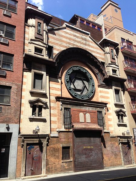
Gallery
Facts and practical information
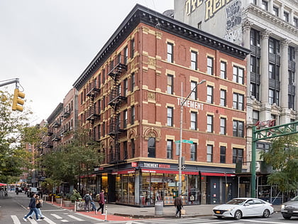
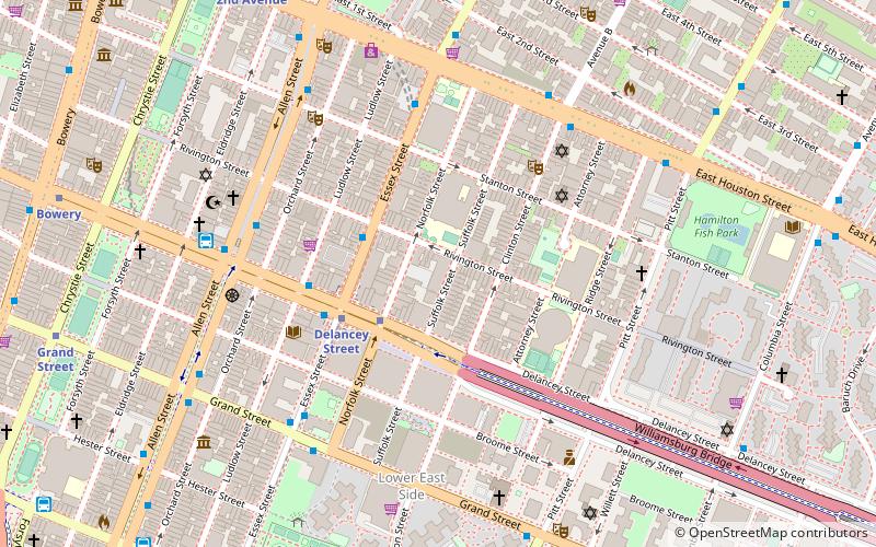
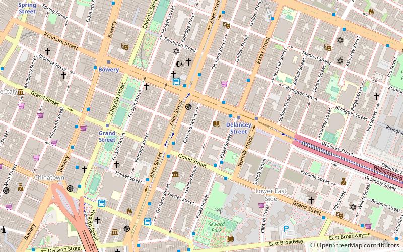
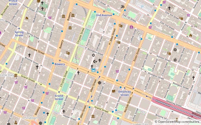
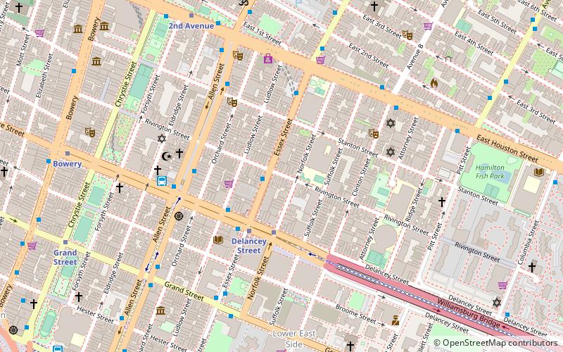
Rivington Street is a street in the New York City borough of Manhattan, which runs across the Lower East Side neighborhood, between the Bowery and Pitt Street, with a break between Chrystie and Forsyth for Sara D. Roosevelt Park. Vehicular traffic runs west on this one-way street. ()
Coordinates: 40°43'11"N, 73°59'14"W
Address
Downtown Manhattan (Lower East Side)New York City
ContactAdd
Social media
Add
Day trips
Rivington Street – popular in the area (distance from the attraction)
Nearby attractions include: Mercury Lounge, Pianos, Lower East Side Tenement Museum, The Clemente.
Frequently Asked Questions (FAQ)
Which popular attractions are close to Rivington Street?
Nearby attractions include The Clemente, New York City (2 min walk), Ludlow Street, New York City (2 min walk), Lowline Park, New York City (3 min walk), Angel Orensanz Center, New York City (4 min walk).
How to get to Rivington Street by public transport?
The nearest stations to Rivington Street:
Metro
Bus
Metro
- Delancey Street • Lines: <F>, F (3 min walk)
- Essex Street • Lines: J, M, Z (3 min walk)
Bus
- D3 Busline (5 min walk)
- Allen Street & East Houston Street • Lines: M15, M15-Sbs (6 min walk)

 Subway
 Manhattan Buses

