Sixteenth Street Historic District, Washington D.C.
Facts and practical information
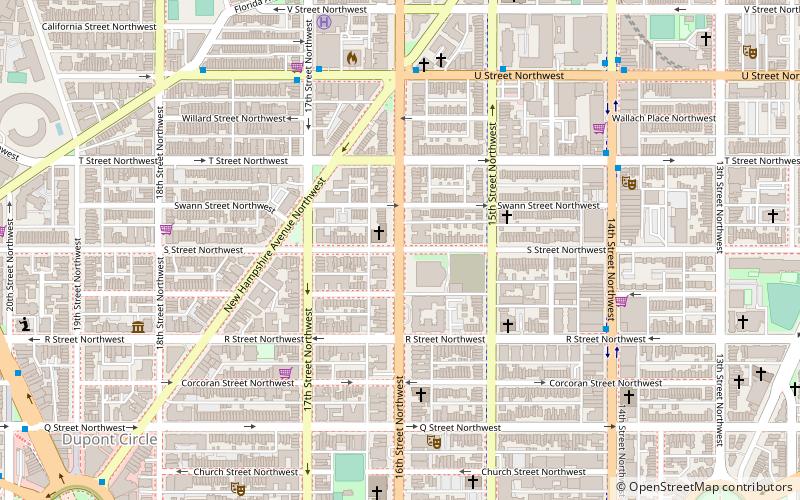
The Sixteenth Street Historic District is a 1.25 mile linear historic district in Washington, D.C., that includes all structures along 16th Street NW between H Street and Florida Avenue. The district's southern boundary is bordered by Lafayette Square, just north of the White House, and Meridian Hill Park on its northern boundary. It includes an eclectic mix of architectural styles on one of the city's most historic and important numbered streets including single and multi-family residential buildings, embassies, hotels, churches, and office buildings. Most of the district's oldest structures are religious and residential buildings, while many of the commercial buildings were built in the early to mid-20th century. The stretch of 16th Street between Scott Circle and Florida Avenue was recognized as a historic district in 1978 and listed on the National Register of Historic Places, and in 2007 it was expanded to include buildings south of Scott Circle to H Street. The historic district is also listed on the District of Columbia Inventory of Historic Sites. ()
Northwest Washington (Dupont Circle)Washington D.C.
- Metro
- Bus
 Metro
Metro
- Calculate routeDupont Circle 13 min walk
- Calculate routeU Street 16 min walk
- Calculate routeMTA Bus Stop 24 min walk
- Calculate route19th St & F St Northwest 32 min walk
- Calculate route21st St & F St Northwest 33 min walk


Frequently Asked Questions (FAQ)
Which popular attractions are close to Sixteenth Street Historic District?
How to get to Sixteenth Street Historic District by public transport?
Metro
- Dupont Circle • Lines: Rd (13 min walk)
- U Street • Lines: Gr, Yl (16 min walk)
Bus
- MTA Bus Stop • Lines: 305, 315 (24 min walk)
- 19th St & F St Northwest (32 min walk)