Hellyer Park Velodrome, San Jose
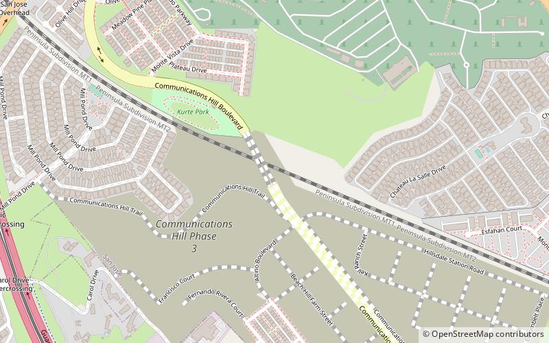
Map

Gallery
Facts and practical information
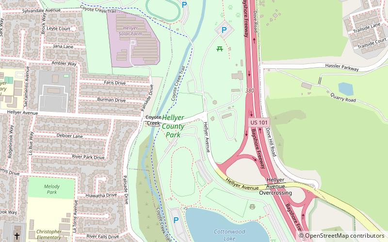
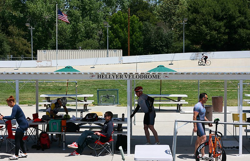
Hellyer Park Velodrome is a velodrome in Hellyer County Park at San Jose, California, United States. It is a 335 metres track with turns at a maximum banking of 23 degrees built in 1963. It is located next to the Coyote Creek Trail and considered part of the county's Coyote Creek Parkway chain of parks along the creek. ()
Coordinates: 37°17'17"N, 121°48'48"W
Address
South San JoseSan Jose
ContactAdd
Social media
Add
Day trips
Hellyer Park Velodrome – popular in the area (distance from the attraction)
Nearby attractions include: Vieira Park, Eastridge, Village Square Branch Library, Saint Maria Goretti Parish.
Frequently Asked Questions (FAQ)
How to get to Hellyer Park Velodrome by public transport?
The nearest stations to Hellyer Park Velodrome:
Bus
Bus
- Yerba Buena Road & Ambrose Court • Lines: 72 (7 min walk)
- McLaughlin Avenue & Yerba Buena Road • Lines: 72 (9 min walk)


