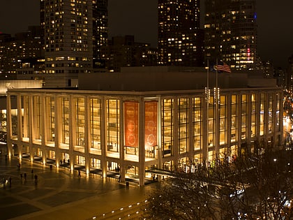
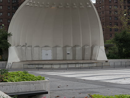
Waterline Square, New York City
Map
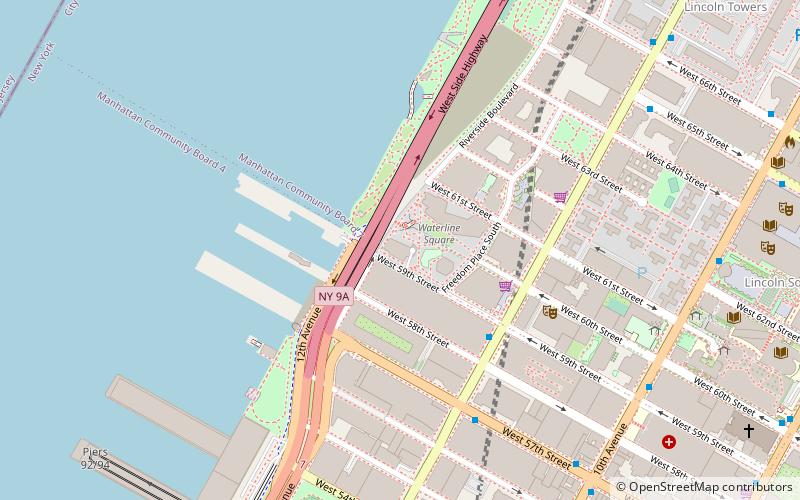
Map

Facts and practical information
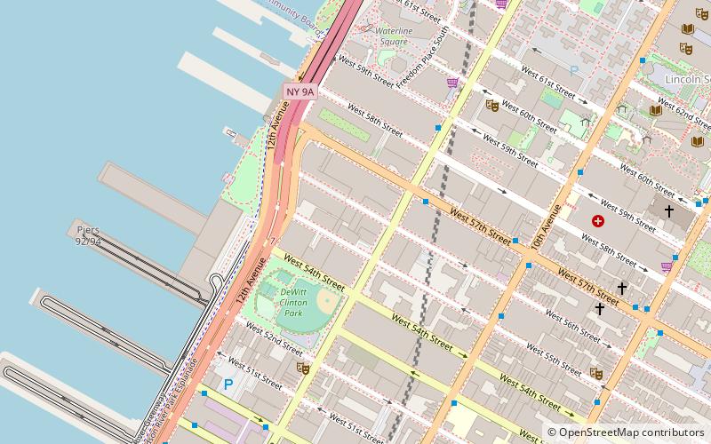
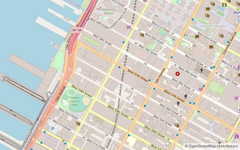
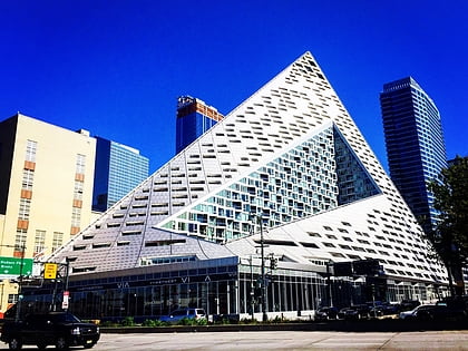
Waterline Square is a 5-acre, $2.3 billion luxury condominium and rental development located near the Hudson River on the Upper West Side of New York City. The complex will include three residential towers with 1,132 units and 3 acres of park, along with 100,000 square feet of amenity space. The residences range in size from one to five bedrooms. ()
Coordinates: 40°46'22"N, 73°59'34"W
Address
10 Riverside BoulevardUpper Manhattan (Upper West Side)New York City
ContactAdd
Social media
Add
Day trips
Waterline Square – popular in the area (distance from the attraction)
Nearby attractions include: Terminal 5, Revson Fountain, Lincoln Center for the Performing Arts, New York Central Railroad 69th Street Transfer Bridge.
Frequently Asked Questions (FAQ)
Which popular attractions are close to Waterline Square?
Nearby attractions include The Landmark at 57 West, New York City (3 min walk), One Riverside Park, New York City (4 min walk), Anya and Andrew Shiva Art Gallery, New York City (5 min walk), CBS Broadcast Center, New York City (7 min walk).
How to get to Waterline Square by public transport?
The nearest stations to Waterline Square:
Bus
Metro
Ferry
Light rail
Bus
- West 50th Street & 12th Avenue • Lines: M50 (13 min walk)
- West 49th Street & 11th Avenue • Lines: M50 (14 min walk)
Metro
- 66th Street–Lincoln Center • Lines: 1, 2 (14 min walk)
- 59th Street–Columbus Circle • Lines: 1, A, B, C, D (17 min walk)
Ferry
- Midtown/West 39th Street (27 min walk)
Light rail
- Port Imperial • Lines: Hblr (28 min walk)

 Subway
 Manhattan Buses