Cedonia, Baltimore

Map
Facts and practical information
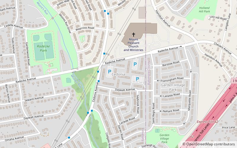
Cedonia is a region of Northeastern Baltimore, Maryland consisting of the neighborhoods of Cedmont, Cedonia, and Frankford. It is located east of Belair Road, above Herring Run Park, and west of the Baltimore City/County Line. It is a predominantly residential area with neighborhoods that range from middle class to lower income. ()
Coordinates: 39°19'48"N, 76°31'54"W
Address
Northeastern Baltimore (Cedonia)Baltimore
ContactAdd
Social media
Add
Day trips
Cedonia – popular in the area (distance from the attraction)
Nearby attractions include: Lake Montebello, Eastpoint Mall, Columbus Obelisk, Clifton Park.
Frequently Asked Questions (FAQ)
How to get to Cedonia by public transport?
The nearest stations to Cedonia:
Bus
Bus
- Philadelphia Road & Hamilton Avenue Westbound • Lines: 56 (28 min walk)


