Thomas Dunlap School, Philadelphia
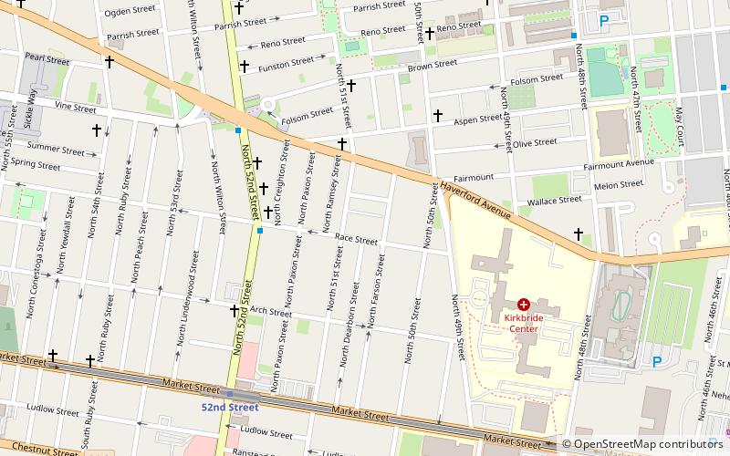
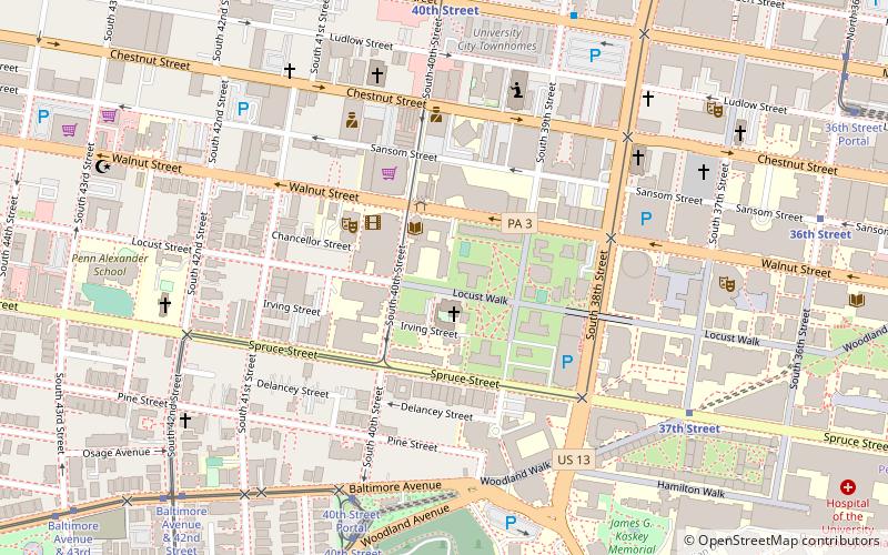
Map

Map

Facts and practical information
Thomas Dunlap School is a historic former school building located in the Haddington neighborhood of Philadelphia, Pennsylvania. It was built in 1906, and is a three-story, nine bay by two bay, ashlar stone building in the Colonial Revival-style. It features a projecting, center cross gable bay, paired pilasters flanking the main entrance, and a modillioned copper cornice. ()
Coordinates: 39°57'47"N, 75°13'18"W
Address
West Philadelphia (Dunlap)Philadelphia
ContactAdd
Social media
Add
Day trips
Thomas Dunlap School – popular in the area (distance from the attraction)
Nearby attractions include: Please Touch Museum, Masjid Al-Jamia, Memorial Hall, Saint Mary's Church.
Frequently Asked Questions (FAQ)
Which popular attractions are close to Thomas Dunlap School?
Nearby attractions include Paul Robeson House, Philadelphia (9 min walk), Walnut Hill, Philadelphia (13 min walk), George L. Brooks School, Philadelphia (19 min walk), Malcolm X Park, Philadelphia (19 min walk).
How to get to Thomas Dunlap School by public transport?
The nearest stations to Thomas Dunlap School:
Metro
Tram
Metro
- 52nd Street • Lines: Mfl (7 min walk)
- 46th Street • Lines: Mfl (13 min walk)
Tram
- Girard Avenue & 52nd Street • Lines: 15 (16 min walk)
- Lancaster Avenue & Wyalusing Avenue • Lines: 10 (17 min walk)

 SEPTA Regional Rail


