Yankee, New York City
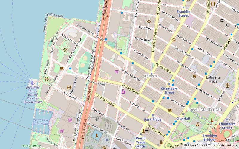
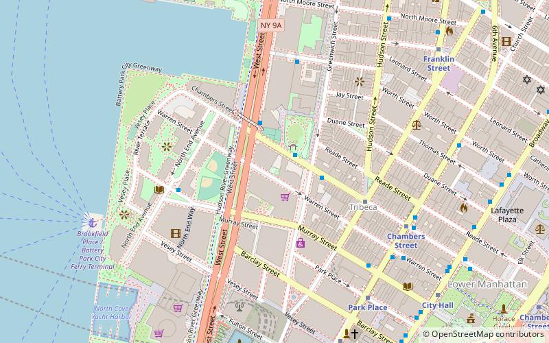
Map
Facts and practical information
Yankee is an early-20th-century steel hulled ferry which is registered as a historic vessel with the National Register of Historic Places. As of 2006 it was berthed in Hoboken, New Jersey. In mid-2013, the ferry was moved to the Henry Street pier in the Gowanus Bay Terminal in Red Hook, Brooklyn. ()
Coordinates: 40°43'18"N, 74°0'57"W
Address
New York City
ContactAdd
Social media
Add
Getting there by public transportation
Public transportation stops near this location
- Metro
- Bus
- Light rail
- Train
- Ferry
 Metro
Metro
- Calculate routeBrookfield Place / Battery Park City Ferry Terminal 13 min walk
- Calculate routePaulus Hook Ferry Terminal 26 min walk
- Calculate routeHoboken NJ Transit Terminal 28 min walk
- Calculate routeLiberty State Park 36 min walk
- Calculate routeCanal Street 14 min walk
- Calculate routeFranklin Street 13 min walk
- Calculate routeChurch Street & Warren Street 17 min walk
- Calculate routeBroadway & Thomas Street 18 min walk
- Calculate routeHarborside Financial Center 25 min walk
- Calculate routeExchange Place 27 min walk
- Calculate routeHoboken Terminal 28 min walk
Maps SubwayMaps
 Manhattan Buses
SubwayMapsManhattan BusesDay trips


Frequently Asked Questions (FAQ)
Which popular attractions are close to Yankee?
Nearby attractions include Art Projects International, New York City (8 min walk), Teardrop Park, New York City (9 min walk), West Street pedestrian bridges, New York City (10 min walk), Wetlands Preserve, New York City (10 min walk).
How to get to Yankee by public transport?
The nearest stations to Yankee:
Ferry
Metro
Bus
Light rail
Train
Ferry
- Brookfield Place / Battery Park City Ferry Terminal (13 min walk)
- Paulus Hook Ferry Terminal (26 min walk)
Metro
- Canal Street • Lines: 1, 2 (14 min walk)
- Franklin Street • Lines: 1, 2 (13 min walk)
Bus
- Church Street & Warren Street • Lines: 120 (17 min walk)
- Broadway & Thomas Street • Lines: M55 (18 min walk)
Light rail
- Harborside Financial Center • Lines: Hblr (25 min walk)
- Exchange Place • Lines: Hblr (27 min walk)
Train
- Hoboken Terminal (28 min walk)