Burnham Park, Chicago
Map
Gallery
Facts and practical information
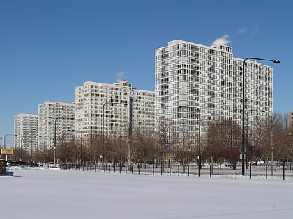
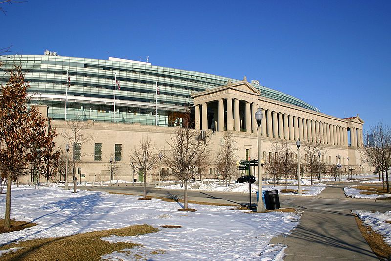
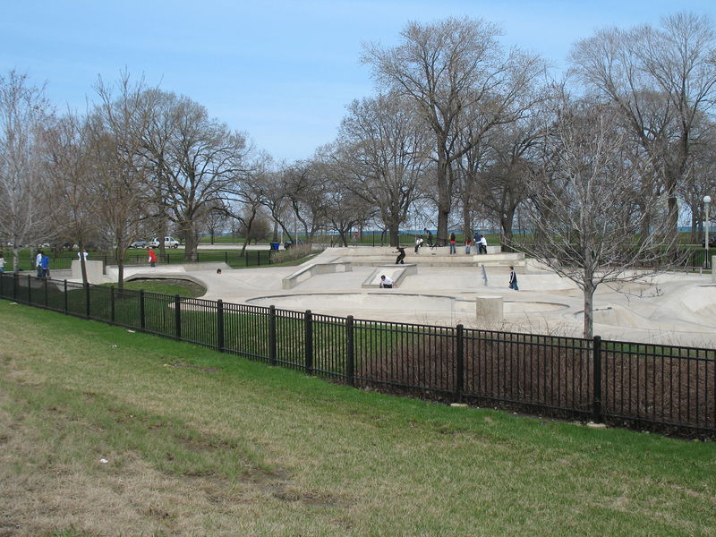
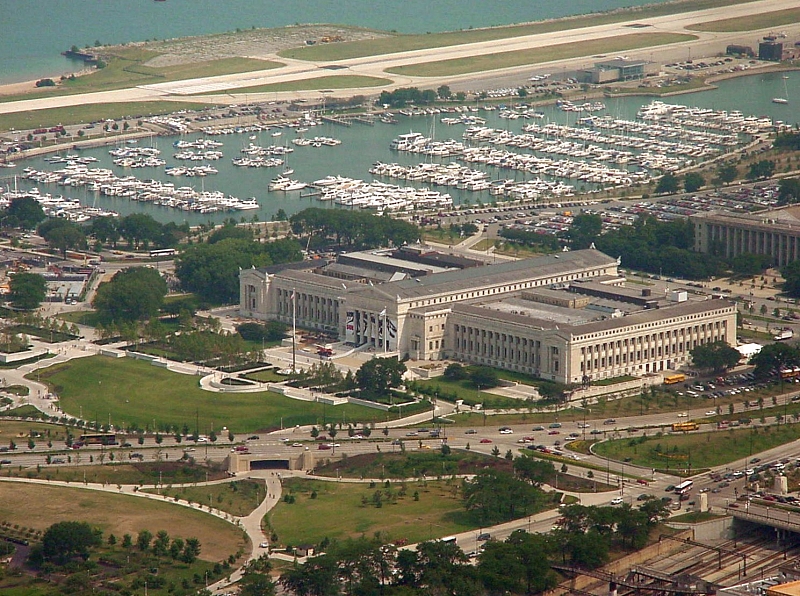
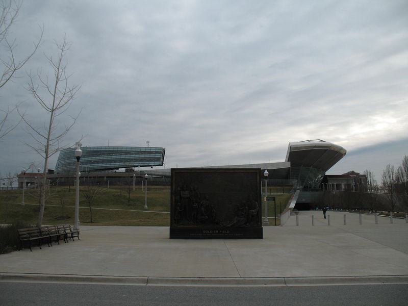
Burnham Park is a public park located in Chicago, Illinois. Situated along 6 miles of Lake Michigan shoreline, the park connects Grant Park at 14th Street to Jackson Park at 56th Street. The 598 acres of parkland is owned and managed by Chicago Park District. It was named for urban planner and architect Daniel Burnham in 1927. Burnham was one of the designers of the 1893 World's Columbian Exposition. ()
Day trips
Burnham Park – popular in the area (distance from the attraction)
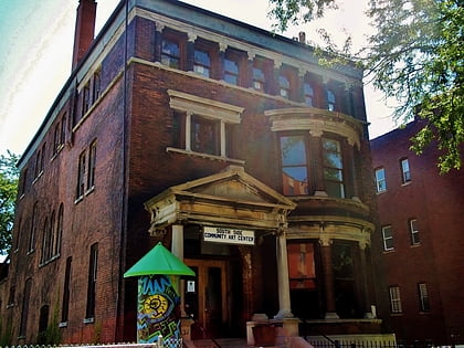
Nearby attractions include: Sunset Cafe, Illinois Institute of Technology, South Side Community Art Center, Victory Monument.
Frequently Asked Questions (FAQ)
Which popular attractions are close to Burnham Park?
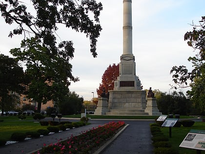
Nearby attractions include Stephen A. Douglas Tomb, Chicago (9 min walk), Victory Monument, Chicago (21 min walk), Oakland, Chicago (21 min walk), Martin Roche–John Tait House, Chicago (22 min walk).
How to get to Burnham Park by public transport?
The nearest stations to Burnham Park:
Bus
Train
Metro
Bus
- Cottage Grove & 36th Street • Lines: 4, (N) N4 (12 min walk)
- Cottage Grove & Woodland Park • Lines: 35 (13 min walk)
Train
- 27th Street (27 min walk)
Metro
- Indiana • Lines: Green (32 min walk)
- 43rd • Lines: Green (36 min walk)



 Rail "L"