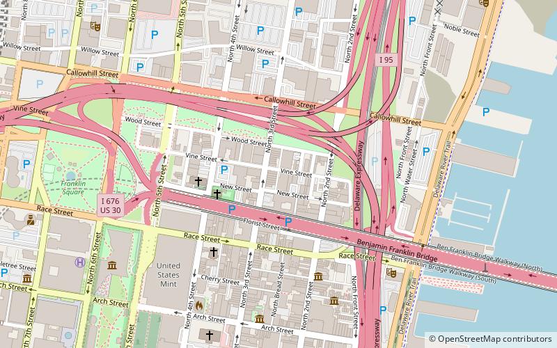
Daniel Boone School, Philadelphia
Map
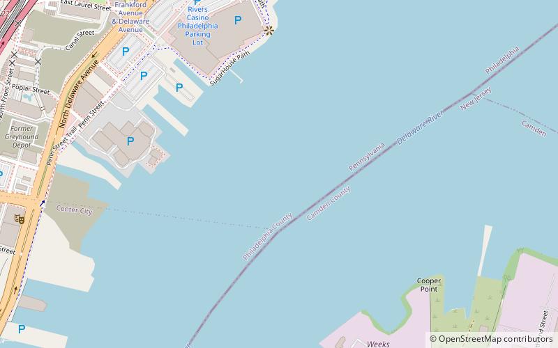
Map

Facts and practical information
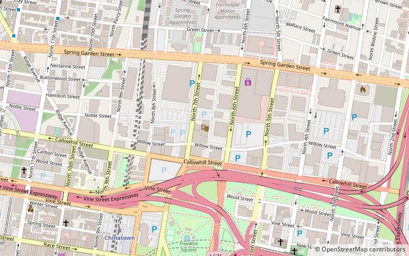
Daniel Boone School is a historic school building located in the Northern Liberties neighborhood of Philadelphia, Pennsylvania. It was designed by Irwin T. Catharine and built in 1926–1927. It is a four-story, eight bay brick building with a two-story center section in the Late Gothic Revival-style. It features an off-center entrance with arched limestone surround, decorative tile mosaic panels, and a decorative brick and tile cornice. It is named for frontiersman Daniel Boone. ()
Coordinates: 39°57'39"N, 75°7'47"W
Address
Philadelphia
ContactAdd
Social media
Add
Day trips
Daniel Boone School – popular in the area (distance from the attraction)
Nearby attractions include: Franklin Music Hall, Campbell's Field, Benjamin Franklin Bridge, Philadelphia Bourse.
Frequently Asked Questions (FAQ)
Which popular attractions are close to Daniel Boone School?
Nearby attractions include Rivers Casino Philadelphia, Philadelphia (7 min walk), Penn Treaty Park, Philadelphia (10 min walk), Cooper Point, Camden (13 min walk), Immaculate Conception Roman Catholic Church, Philadelphia (14 min walk).
How to get to Daniel Boone School by public transport?
The nearest stations to Daniel Boone School:
Tram
Metro
Light rail
Bus
Tram
- Frankford Avenue & Delaware Avenue • Lines: 15 (10 min walk)
- Girard Avenue & Front Street • Lines: 15 (17 min walk)
Metro
- Spring Garden • Lines: Mfl (15 min walk)
- Girard • Lines: Mfl (18 min walk)
Light rail
- Cooper Street–Rutgers • Lines: River Line (25 min walk)
- Adventure Aquarium • Lines: River Line (27 min walk)
Bus
- FlixBus Philadelphia Market Street • Lines: 2602, 2680, N2610 (34 min walk)
- Spruce St & 6th St • Lines: 12 (41 min walk)

 SEPTA Regional Rail