North Queen Anne Drive Bridge, Seattle
Map
Map

Facts and practical information
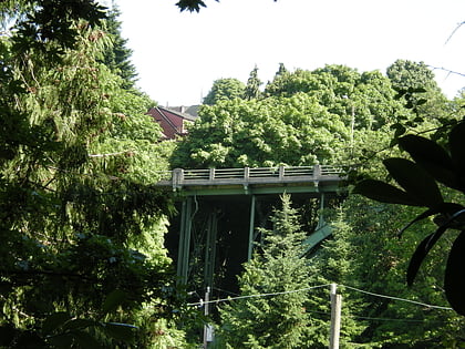
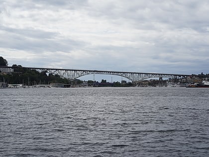
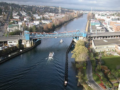
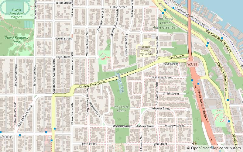
The North Queen Anne Drive Bridge is a deck arch bridge that spans Seattle's Wolf Creek. The 238 ft long steel and concrete structure was built in 1936 to replace the previous wood-constructed crossing. It serves as a connection between the Queen Anne neighborhood and the George Washington Memorial Bridge that carries State Route 99. The arch is unusually high and uses a minimal number of supporting members. It was designated a city landmark on December 28, 1981, because of its unique engineering style. ()
Coordinates: 47°38'32"N, 122°21'8"W
Address
Queen AnneSeattle
ContactAdd
Social media
Add
Day trips
North Queen Anne Drive Bridge – popular in the area (distance from the attraction)
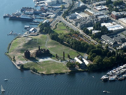
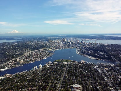
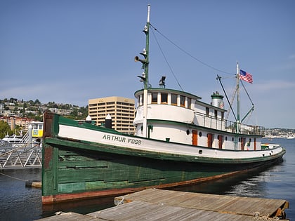
Nearby attractions include: Gas Works Park, Lake Union, Kerry Park, Arthur Foss.
Frequently Asked Questions (FAQ)
Which popular attractions are close to North Queen Anne Drive Bridge?
Nearby attractions include Wagner Houseboat, Seattle (10 min walk), Aurora Bridge, Seattle (11 min walk), Fremont Bridge, Seattle (11 min walk), Lake Washington Rowing Club, Seattle (14 min walk).
How to get to North Queen Anne Drive Bridge by public transport?
The nearest stations to North Queen Anne Drive Bridge:
Bus
Tram
Bus
- Aurora Ave N & Halladay St • Lines: 5 (7 min walk)
- Dexter Ave N & 4th Ave N • Lines: 62 (7 min walk)
Tram
- Lake Union Park • Lines: South Lake Union Streetcar (35 min walk)
- Fairview & Campus Drive • Lines: South Lake Union Streetcar (35 min walk)
