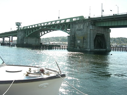
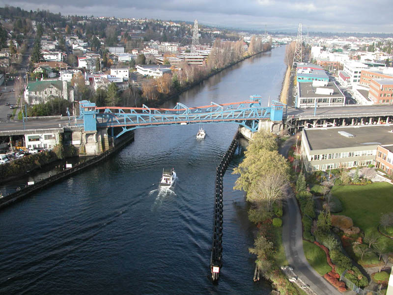
Fremont Bridge, Seattle
Map
Gallery
Facts and practical information
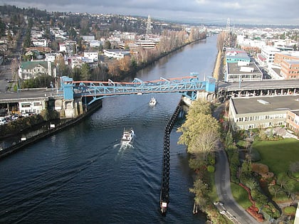
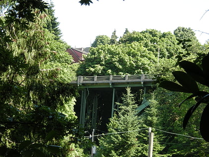
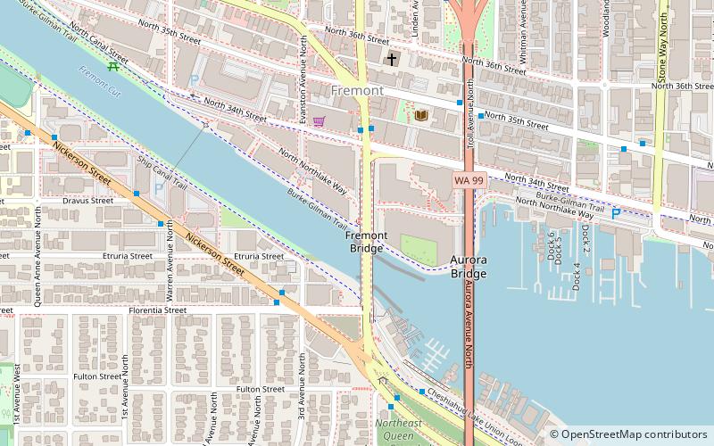
The Fremont Bridge is a double-leaf bascule bridge that spans the Fremont Cut in Seattle, Washington. The bridge, which connects Fremont Avenue North and 4th Avenue North, connects the neighborhoods of Fremont and Queen Anne. ()
Length: 502 ftCoordinates: 47°38'54"N, 122°20'60"W
Address
711 N 34th StLake Union (Fremont)Seattle 98103-8800
Contact
+1 800-838-3006 ext. 1
Social media
Add
Day trips
Fremont Bridge – popular in the area (distance from the attraction)
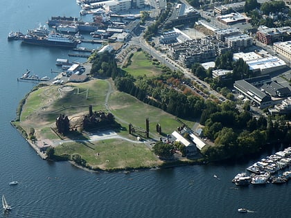
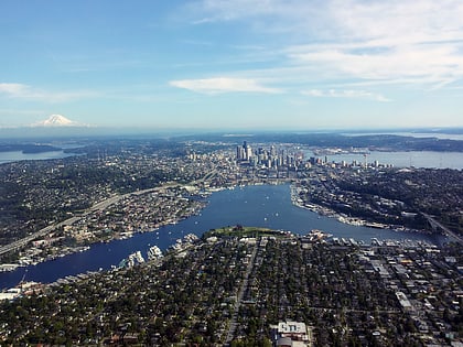
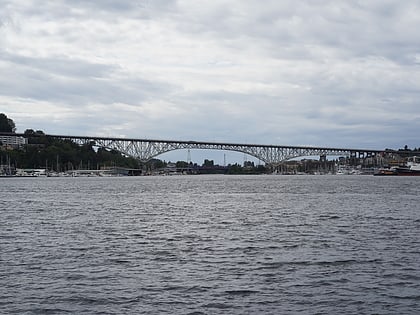
Nearby attractions include: Gas Works Park, Lake Union, Aurora Bridge, Ballard Bridge.
Frequently Asked Questions (FAQ)
Which popular attractions are close to Fremont Bridge?
Nearby attractions include History House of Greater Seattle, Seattle (4 min walk), Fremont Vintage Mall, Seattle (4 min walk), Lake Washington Rowing Club, Seattle (4 min walk), Fremont, Seattle (4 min walk).
How to get to Fremont Bridge by public transport?
The nearest stations to Fremont Bridge:
Bus
Bus
- Fremont Ave N & N 34th St • Lines: 31, 32, 40, 62 (3 min walk)
- Nickerson St & 3rd Ave N • Lines: 31, 32 (3 min walk)
