Reevesland, Arlington
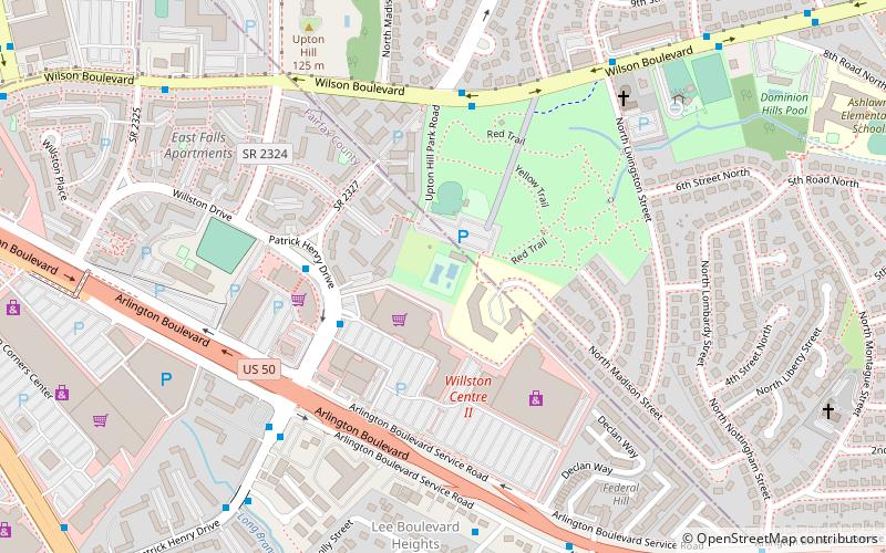
Map
Facts and practical information
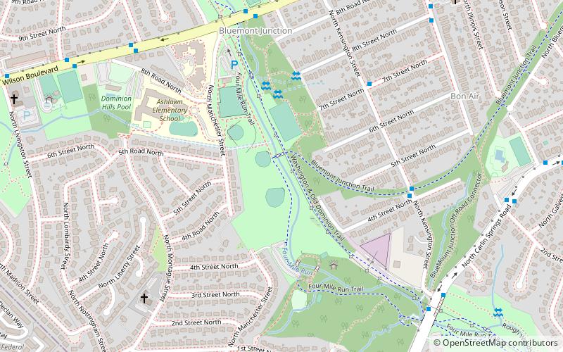
Reevesland is the remnant of an estate that was once located in the present Boulevard Manor neighborhood of Arlington County, Virginia. The former estate, located at 400 N. Manchester Street in the western part of the county, now consists of 2.4 acres of land with a house and outbuildings that were originally part of a 160 acres dairy farm. ()
Coordinates: 38°52'17"N, 77°7'56"W
Address
North Arlington (Boulevard Manor)Arlington
ContactAdd
Social media
Add
Getting there by public transportation
Public transportation stops near this location
- Metro
- Bus
 Metro
Metro
- Calculate route7th St N at N Kensingington St 6 min walk
- Calculate routeN Kensignton St at 4th St N 6 min walk
- Calculate routeN Jefferson St at 8th St N 10 min walk
- Calculate routeArlington Blvd & Manchester St 10 min walk
- Calculate routeBallston–MU 35 min walk
Day trips


Frequently Asked Questions (FAQ)
Which popular attractions are close to Reevesland?
Nearby attractions include Dominion Hills Historic District, Arlington (15 min walk), Upton Hill Regional Park, Arlington (17 min walk), Glencarlyn Library, Arlington (17 min walk), Ball-Sellers House, Arlington (17 min walk).
How to get to Reevesland by public transport?
The nearest stations to Reevesland:
Bus
Metro
Bus
- 7th St N at N Kensingington St • Lines: 75 (6 min walk)
- N Kensignton St at 4th St N • Lines: 75 (6 min walk)
Metro
- Ballston–MU • Lines: Or, Sv (35 min walk)