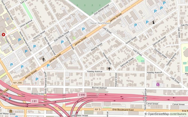
Hawley–Green Historic District, Syracuse
Map

Map

Facts and practical information
The Hawley–Green Historical District is in the Near Northeast neighborhood of Syracuse, New York. The name comes from the district's two principal streets, Hawley Avenue and Green Street. As Hawley–Green Street Historic District, the district was listed on the National Register of Historic Places in 1979. In 2018 its boundaries were increased to include a number of adjacent streets with similarly styled buildings. ()
Architectural style: Renaissance revivalCoordinates: 43°3'15"N, 76°8'28"W
Address
Near NortheastSyracuse
ContactAdd
Social media
Add
Day trips
Hawley–Green Historic District – popular in the area (distance from the attraction)
Nearby attractions include: Carrier Dome, Oncenter, Clinton Square, Onondaga Creekwalk.
Frequently Asked Questions (FAQ)
Which popular attractions are close to Hawley–Green Historic District?
Nearby attractions include Near Northeast, Syracuse (5 min walk), First English Lutheran Church, Syracuse (7 min walk), ArtRage Gallery, Syracuse (7 min walk), Church of the Saviour, Syracuse (9 min walk).
How to get to Hawley–Green Historic District by public transport?
The nearest stations to Hawley–Green Historic District:
Bus
Bus
- B14 • Lines: 110, 116, 120, 121, 16, 20, 21, 216, 22, 316, 410, 410X, 50, 510 (23 min walk)
- C22 • Lines: 136, 138, 236, 340, 36, 38, 40, 50 (23 min walk)


