Vailsburg, Newark
Map
Gallery
Facts and practical information
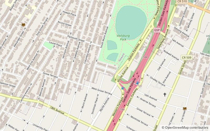
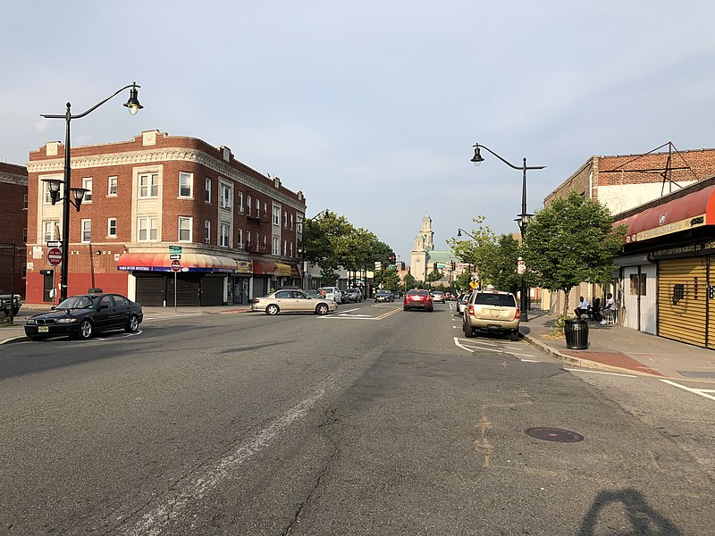
Vailsburg is a neighborhood in the city of Newark in Essex County, New Jersey, United States. Part of the West Ward, its elevation is 280 feet. As of 2000, Vailsburg had a population of 34,348. The Vailsburg section of Newark is on a hill which closely aligns with the suburban and park areas outside it. Vailsburg includes the two smaller neighborhoods of upper Vailsburg and lower Vailsburg, both of which have Sanford Avenue as a focal point. Upper Vailsburg is closer to Maplewood and South Orange. ()
Coordinates: 40°44'26"N, 74°13'8"W
Address
Lower VailsburgNewark
ContactAdd
Social media
Add
Day trips
Vailsburg – popular in the area (distance from the attraction)
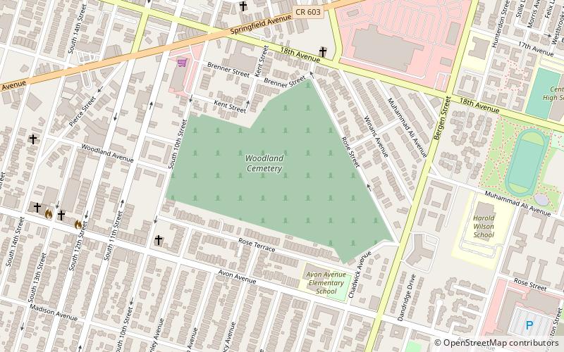
Nearby attractions include: Temple B'Nai Abraham, Irvington Bus Terminal, St. Antoninus Church, Woodland Cemetery.
Frequently Asked Questions (FAQ)
Which popular attractions are close to Vailsburg?
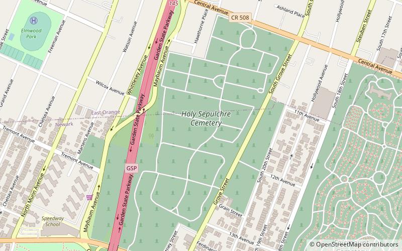
Nearby attractions include Stanley Theater, Newark (18 min walk), Holy Sepulchre Cemetery, Newark (19 min walk).
How to get to Vailsburg by public transport?
The nearest stations to Vailsburg:
Bus
Bus
- South Clinton Street at South Orange Avenue • Lines: 94 (16 min walk)
- Irvington Bus Terminal • Lines: 26 (28 min walk)


