Hubbard Street, Chicago
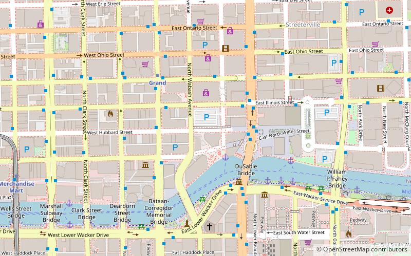
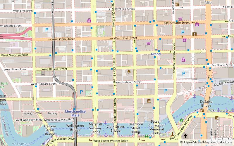
Map
Facts and practical information
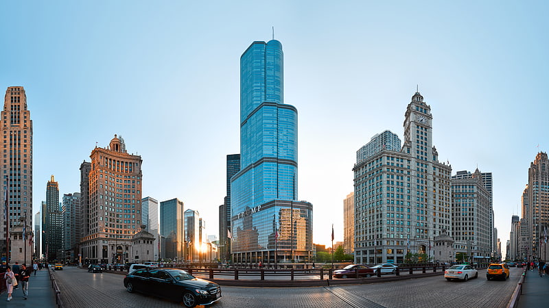
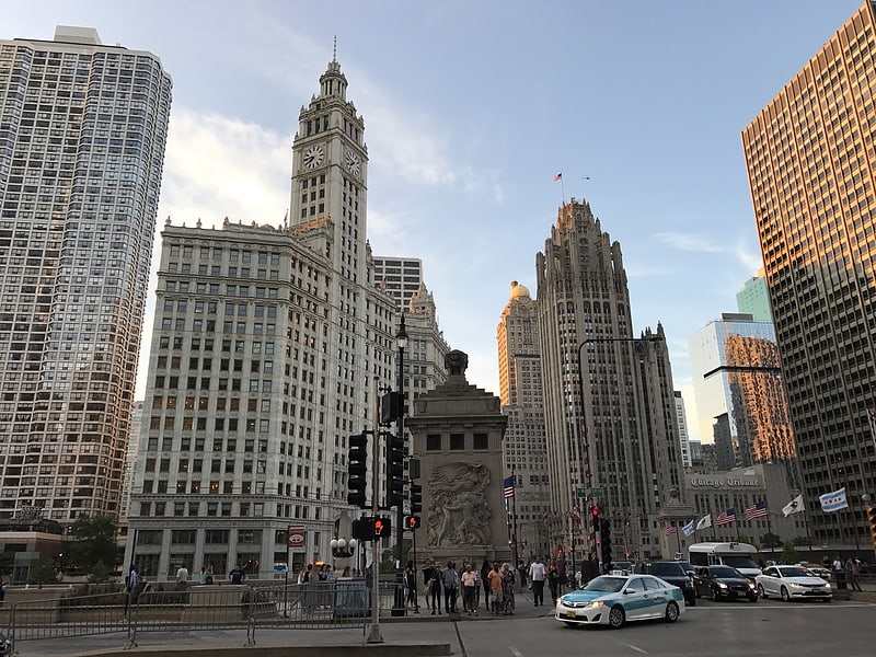
Hubbard Street is a street in Chicago, Illinois named for early settler Gurdon Saltonstall Hubbard. Hubbard Street has three distinct sections. The first, east of the Chicago River, runs from Kingsbury Street to Michigan Avenue. The second, longer section runs from Des Plaines Street west to Campbell Avenue The third and shortest section is a three-block stretch from Kilpatrick Avenue to Lavergne Avenue where it ends at the Hubbard Playlot Park. Notable buildings on this street include Courthouse Place at 54 W. Hubbard. ()
Coordinates: 41°53'25"N, 87°37'34"W
Address
Downtown (Near North Side)Chicago
ContactAdd
Social media
Add
Getting there by public transportation
Public transportation stops near this location
- Metro
- Bus
- Train
 Metro
Metro
- Calculate routeLower Illinois & Michigan 3 min walk
- Calculate routeIllinois & State 3 min walk
- Calculate routeLower Michigan & Kinzie 3 min walk
- Calculate routeMichigan & Hubbard 3 min walk
- Calculate routeGrand 4 min walk
- Calculate routeState/Lake 9 min walk
- Calculate routeLake 9 min walk
- Calculate routeMillennium Station 11 min walk
- Calculate routeOgilvie Transportation Center 22 min walk
- Calculate routeVan Buren Street 24 min walk
- Calculate routeChicago Union Station 27 min walk
Maps Rail "L"
Rail "L"Day trips


Frequently Asked Questions (FAQ)
Which popular attractions are close to Hubbard Street?
Nearby attractions include Wrigley Building, Chicago (2 min walk), Plaza 440, Chicago (2 min walk), Tribune Tower, Chicago (4 min walk), Jean Baptiste Point Du Sable Homesite, Chicago (4 min walk).
How to get to Hubbard Street by public transport?
The nearest stations to Hubbard Street:
Bus
Metro
Train
Bus
- Lower Illinois & Michigan • Lines: 29, 65 (3 min walk)
- Illinois & State • Lines: 29, 65 (3 min walk)
Metro
- Grand • Lines: Red (4 min walk)
- State/Lake • Lines: Brown, Green, Orange, Pink, Purple (9 min walk)
Train
- Millennium Station (11 min walk)
- Ogilvie Transportation Center (22 min walk)