East Cambridge, Boston
Facts and practical information
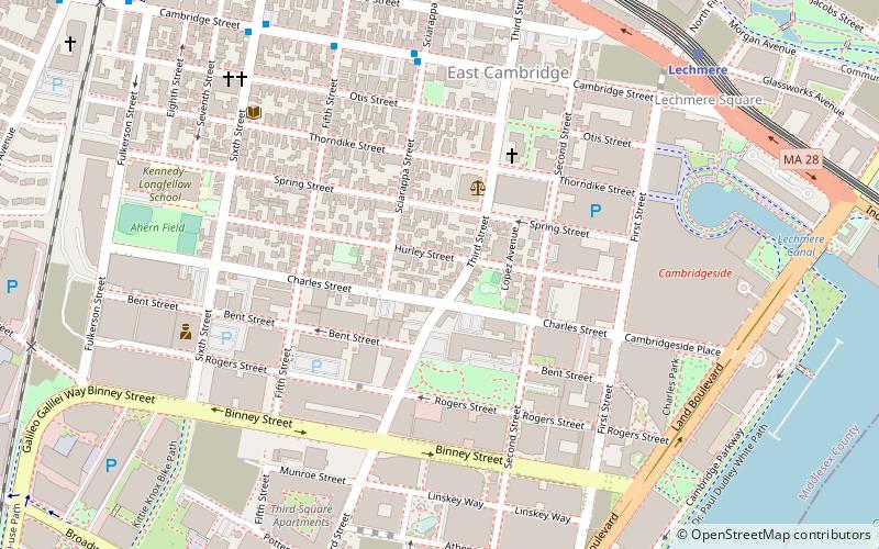
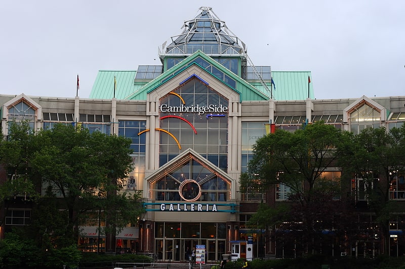
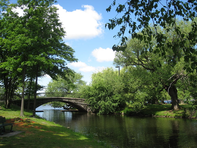
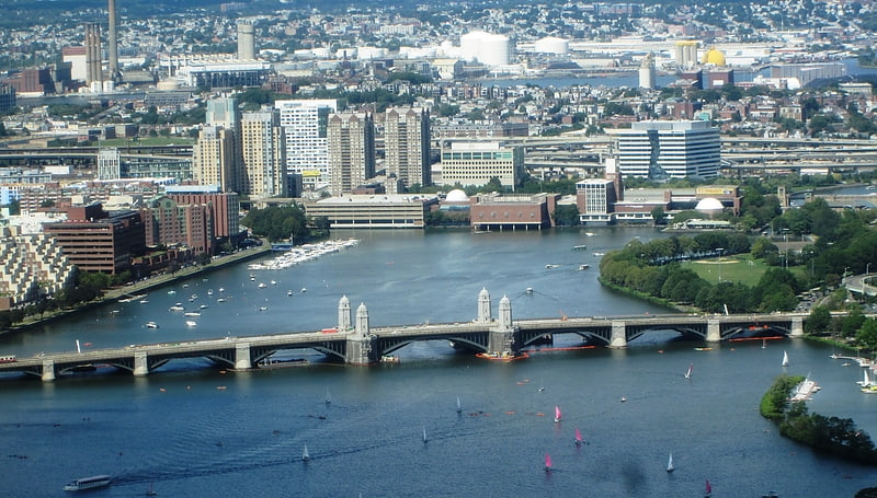
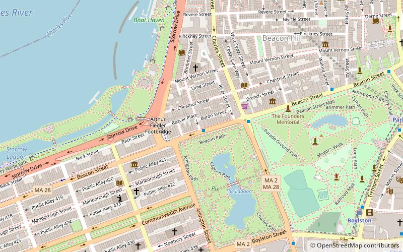
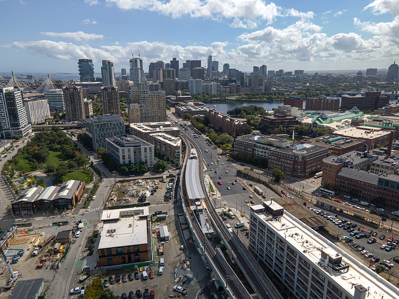
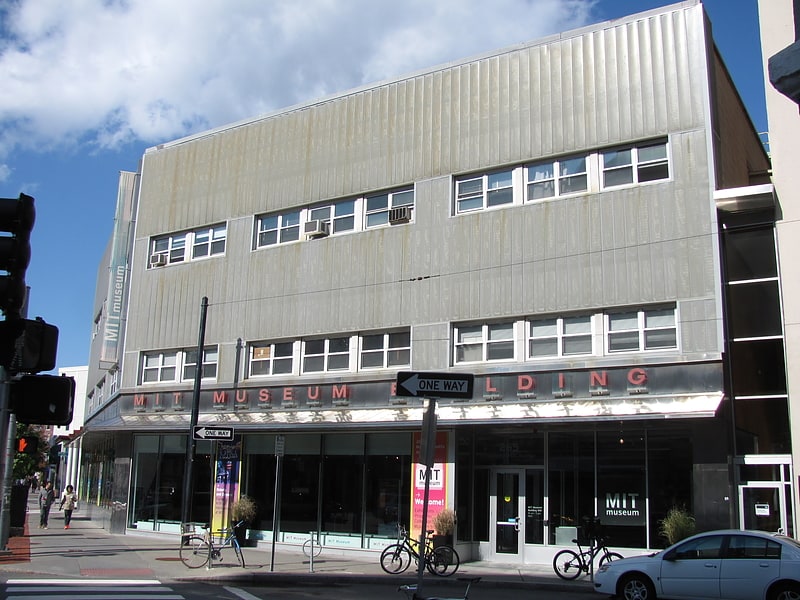
East Cambridge is a neighborhood of Cambridge, Massachusetts. Referred to in modern times as Area 1, East Cambridge is bounded by the Charles River and the Charlestown neighborhood of Boston on the east, the Somerville border on the north, Broadway and Main Street on the south, and the railroad tracks on the west. Most of the streets form a grid aligned with Cambridge Street, which was laid out to directly connect what is now the Charles River Dam Bridge with what in 1809 was the heart of Cambridge, Harvard Square. The northern part of the grid is a roughly six by eight block residential area. Cambridge Street itself is retail commercial, along with Monsignor O'Brien Highway, the Twin Cities Plaza strip mall, and the enclosed Cambridgeside Galleria. Lechmere Square is the transportation hub for the northern side. The southern half of the grid is largely office and laboratory space for hundreds of dot-com companies, research labs and startups associated with MIT, biotechnology firms including Genzyme, Biogen and Moderna, the Athenaeum Press Building, light industry, an NRG Energy power station, and various small businesses. This half of the neighborhood is generally identified with Kendall Square. Along the waterfront are several hotels and taller apartment buildings. ()
Cambridge (East Cambridge)Boston
- Metro
- Bus
- Light rail
- Train
 Metro
Metro
- Calculate routeKendall/MIT 12 min walk
- Calculate routeCharles/MGH 18 min walk
- Calculate routeCommunity College 18 min walk
- Calculate routeBowdoin 28 min walk
- Calculate route84 Massachusetts Ave 23 min walk
- Calculate routeMassachusetts Ave @ Albany St 24 min walk
- Calculate routeWashington St @ McGrath Hwy 24 min walk
- Calculate routeBoston North Station 25 min walk
- Calculate routeNorth Station 28 min walk
- Calculate routeArlington 32 min walk
- Calculate routeGovernment Center 32 min walk
- Calculate routePark Street 32 min walk
 MBTA Subway
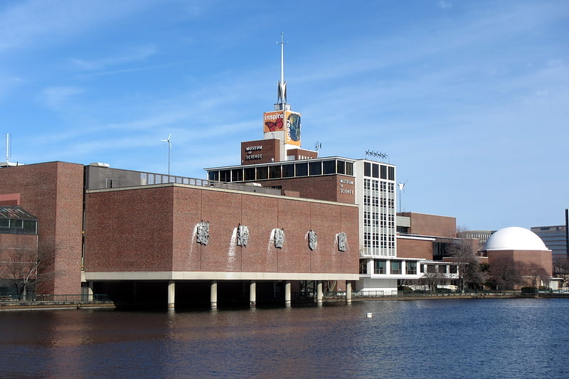


Frequently Asked Questions (FAQ)
Which popular attractions are close to East Cambridge?
How to get to East Cambridge by public transport?
Metro
- Kendall/MIT • Lines: Red (12 min walk)
- Charles/MGH • Lines: Red (18 min walk)
Bus
- 84 Massachusetts Ave • Lines: 1, Ct1 (23 min walk)
- Massachusetts Ave @ Albany St • Lines: 1 (24 min walk)
Train
- Boston North Station (25 min walk)
Light rail
- North Station • Lines: C, E (28 min walk)
- Arlington • Lines: B, C, D, E (32 min walk)