Halprin Open Space Sequence, Portland
Map

Gallery

Facts and practical information
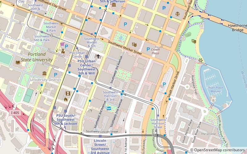
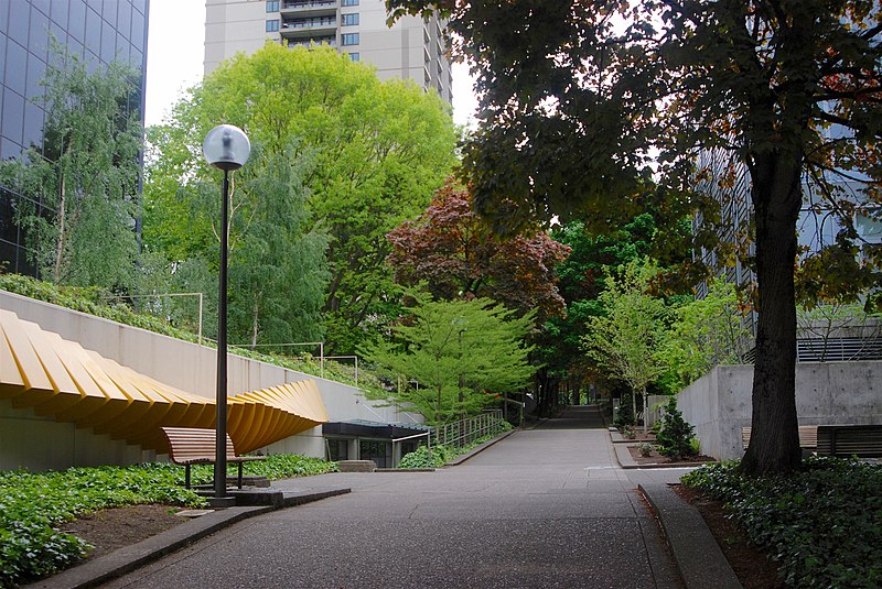
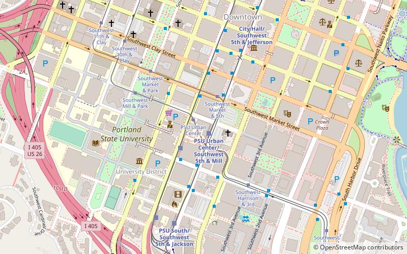
The Halprin Open Space Sequence is a series of urban open spaces and pedestrian zones between Southwest Lincoln Street and Clay Street, in downtown Portland, Oregon, United States. Designed by Lawrence Halprin, the project was completed during 1966–1970, and was added to the National Register of Historic Places on March 6, 2013. It includes Keller Fountain Park, Lovejoy Fountain Park, and Pettygrove Park, along with several other elements. ()
Area: 6 acres (0.0094 mi²)Coordinates: 45°30'39"N, 122°40'44"W
Address
Downtown PortlandPortland
ContactAdd
Social media
Add
Day trips
Halprin Open Space Sequence – popular in the area (distance from the attraction)
Nearby attractions include: Portland Farmers Market, South Park Blocks, Keller Fountain Park, Mark Building.
Frequently Asked Questions (FAQ)
Which popular attractions are close to Halprin Open Space Sequence?
Nearby attractions include Pettygrove Park, Portland (1 min walk), The Dreamer Sculpture, Portland (1 min walk), 200 Market, Portland (2 min walk), Harrison Tower Apartments, Portland (3 min walk).
How to get to Halprin Open Space Sequence by public transport?
The nearest stations to Halprin Open Space Sequence:
Bus
Tram
Light rail
Bus
- 200 Block Southwest Harrison • Lines: 35, 36, 54, 56, 99 (2 min walk)
- Southwest Naito Parkway & Harrison • Lines: 38, 45, 55, 92 (4 min walk)
Tram
- Southwest Harrison & 3rd • Lines: A, B, Ns (2 min walk)
- Southwest 5th & Montgomery • Lines: B, Ns (4 min walk)
Light rail
- PSU Urban Center/Southwest 5th & Mill • Lines: Green, Orange (4 min walk)
- PSU Urban Center/Southwest 6th & Montgomery • Lines: Green, Yellow (5 min walk)


