Los Angeles Institute of Contemporary Art, Los Angeles
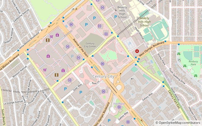
Map
Facts and practical information
The Los Angeles Institute of Contemporary Art was an exhibition venue for visual arts that ran between 1974 and 1987 in Los Angeles, California. It played an important role in showing experimental work of the era as well as supporting the careers of young artists in Los Angeles. ()
Coordinates: 34°3'30"N, 118°24'53"W
Address
West Los Angeles (Westside)Los Angeles
ContactAdd
Social media
Add
Day trips
Los Angeles Institute of Contemporary Art – popular in the area (distance from the attraction)
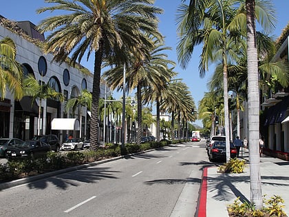
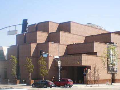
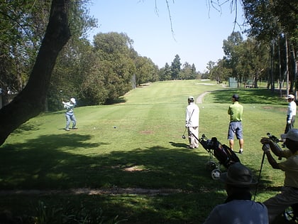
Nearby attractions include: Rodeo Drive, Museum of Tolerance, Two Rodeo, Rancho Park Golf Course.
Frequently Asked Questions (FAQ)
Which popular attractions are close to Los Angeles Institute of Contemporary Art?
Nearby attractions include Annenberg Space for Photography, Los Angeles (2 min walk), The Century, Los Angeles (2 min walk), Century Plaza Towers, Los Angeles (3 min walk), Fox Plaza, Los Angeles (7 min walk).
How to get to Los Angeles Institute of Contemporary Art by public transport?
The nearest stations to Los Angeles Institute of Contemporary Art:
Bus
Bus
- Century Park East & Constellation • Lines: 3, 5 (4 min walk)
 Metro & Regional Rail