Rolling Mill Historic District, Cumberland
Map

Map

Facts and practical information
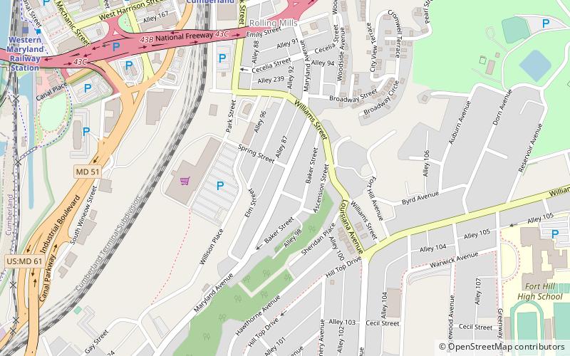
Rolling Mill Historic District is a national historic district located at Cumberland, Allegany County, Maryland. It is a 38-acre primarily residential historic district located on the east side of the city of Cumberland. It contains a strong, locally distinctive concentration of wood and brick residences built between the early 1870s and the late 1940s. It also includes a modest commercial area. The district has a total of 173 properties, including the previously listed Francis Haley House. ()
Coordinates: 39°38'46"N, 78°45'20"W
Address
Cumberland
ContactAdd
Social media
Add
Day trips
Rolling Mill Historic District – popular in the area (distance from the attraction)
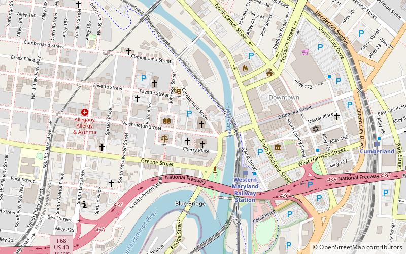
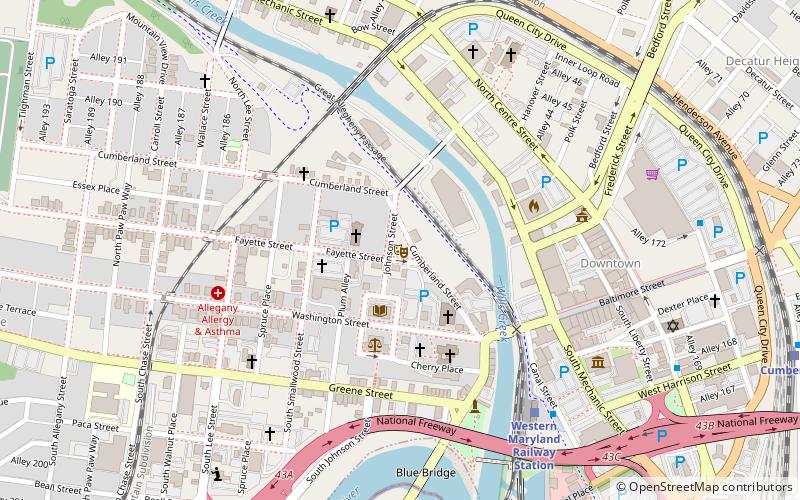
Nearby attractions include: Great Allegheny Passage, Canal Place, B'er Chayim Temple, Washington Street Library.
Frequently Asked Questions (FAQ)
Which popular attractions are close to Rolling Mill Historic District?
Nearby attractions include Francis Haley House, Cumberland (1 min walk), 16 Altamont Terrace, Cumberland (11 min walk), B'er Chayim Temple, Cumberland (11 min walk), Canal Place, Cumberland (12 min walk).
How to get to Rolling Mill Historic District by public transport?
The nearest stations to Rolling Mill Historic District:
Train
Train
- Cumberland (13 min walk)


