Lorin, Berkeley
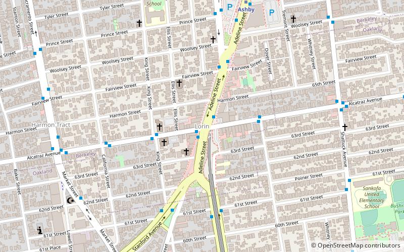
Map
Facts and practical information
The Lorin District is a neighborhood located in the southern part of Berkeley, California, bounded by Ashby Avenue to the north, Adeline Street and Martin Luther King Jr. Way to the east, Sacramento Street to the west, and 62nd Street to the south. ()
Coordinates: 37°50'56"N, 122°16'18"W
Address
Berkeley (South Berkeley)Berkeley
ContactAdd
Social media
Add
Getting there by public transportation
Public transportation stops near this location
- Metro
- Bus
- Train
 Metro
Metro
- Calculate routeAdeline Street & Alcatraz Avenue 1 min walk
- Calculate routeMartin Luther King Junior Way & 61st Street 6 min walk
- Calculate routeStanford Avenue & King Street 6 min walk
- Calculate routeAshby 8 min walk
- Calculate routeRockridge 30 min walk
- Calculate routeEmeryville 32 min walk
Day trips


Frequently Asked Questions (FAQ)
Which popular attractions are close to Lorin?
Nearby attractions include South Berkeley, Berkeley (1 min walk), South Berkeley Community Church, Berkeley (4 min walk), Shotgun Players, Berkeley (11 min walk), Long Haul Infoshop, Berkeley (11 min walk).
How to get to Lorin by public transport?
The nearest stations to Lorin:
Bus
Metro
Train
Bus
- Adeline Street & Alcatraz Avenue • Lines: 12, F (1 min walk)
- Martin Luther King Junior Way & 61st Street • Lines: 12 (6 min walk)
Metro
- Ashby • Lines: Orange, Red (8 min walk)
- Rockridge • Lines: Yellow (30 min walk)
Train
- Emeryville (32 min walk)