Country Club Historic District, Omaha
Map

Map

Facts and practical information
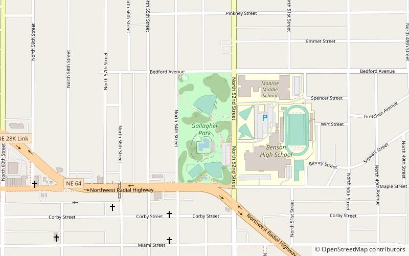
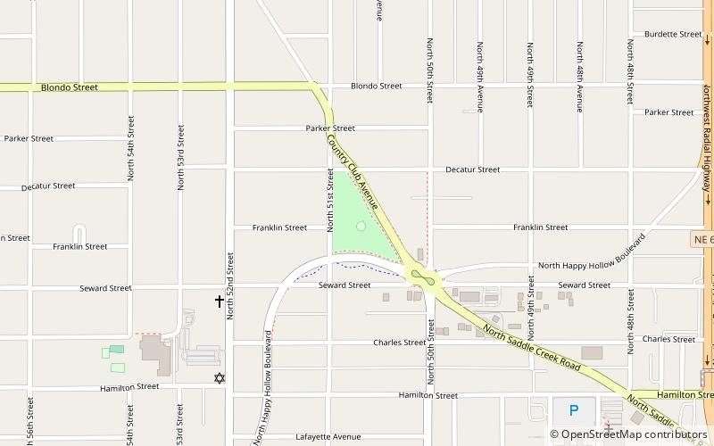
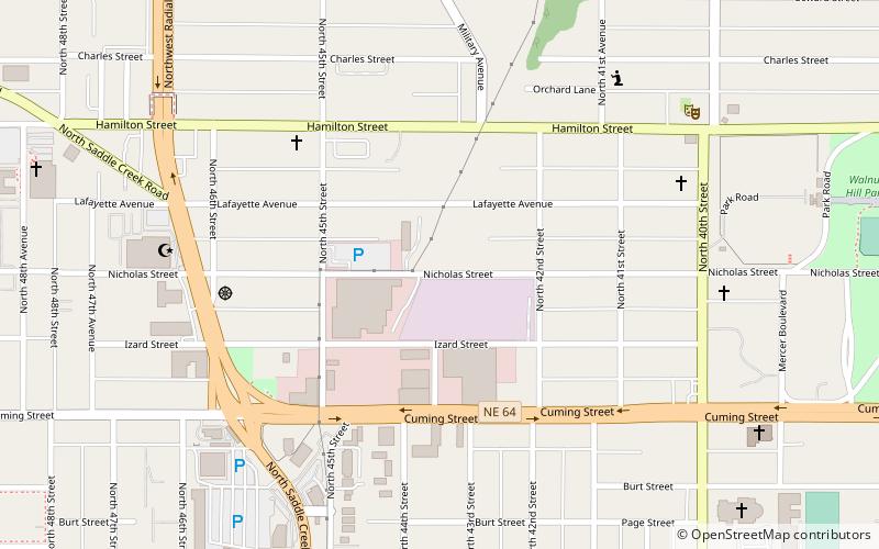
The Country Club Historic District is located in Omaha, Nebraska from 50th to 56th Streets, from Corby to Seward Streets. With dozens of homes built between 1925 and 1949 in the late 19th and 20th Century Revival styles, the community was added to the National Register of Historic Places in 2004. ()
Coordinates: 41°16'53"N, 95°59'50"W
Address
Omaha
ContactAdd
Social media
Add
Day trips
Country Club Historic District – popular in the area (distance from the attraction)
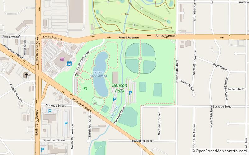
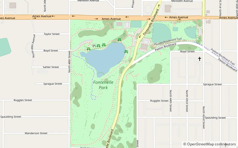
Nearby attractions include: Krug Park, Benson Park, Metcalfe Park, Fontenelle Park.
Frequently Asked Questions (FAQ)
Which popular attractions are close to Country Club Historic District?
Nearby attractions include Krug Park, Omaha (10 min walk), Benson City Hall, Omaha (13 min walk), Metcalfe Park, Omaha (13 min walk), Benson, Omaha (18 min walk).

