Metcalfe Park, Omaha

Map
Facts and practical information
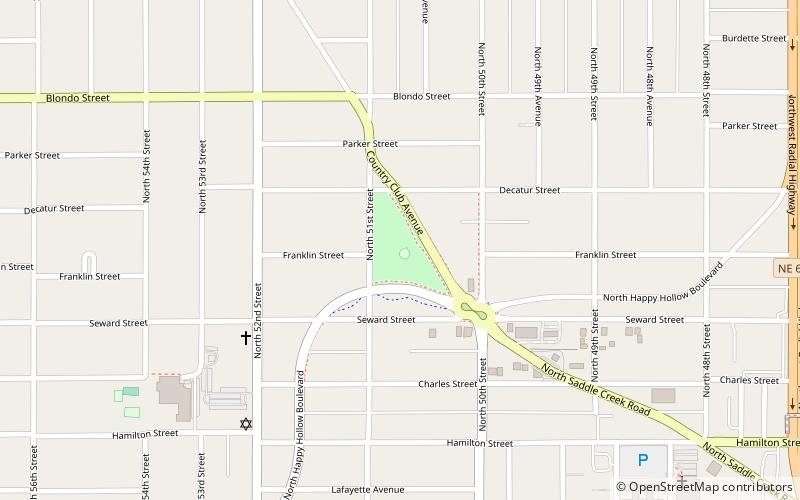
Metcalfe Park is a small park bearing the namesake of the surrounding neighborhood of Metcalfe, Omaha, Nebraska, located at 1700 Country Club Avenue. One lap around the park perimeter sidewalk is equivalent to 1/3 mile. It occupies approximately 4 acres and is bounded by Decatur St, Happy Hollow Ave, 51st St and Country Club Ave. ()
Elevation: 1175 ft a.s.l.Coordinates: 41°16'31"N, 95°59'31"W
Day trips
Metcalfe Park – popular in the area (distance from the attraction)
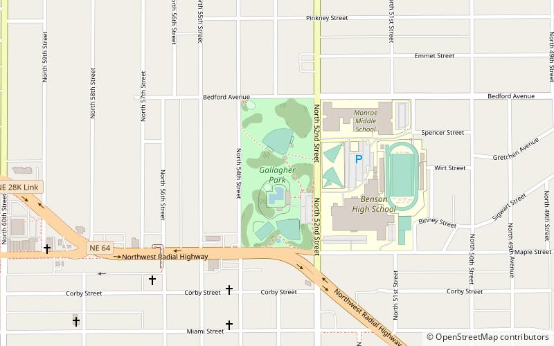
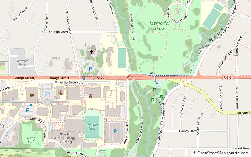
Nearby attractions include: Memorial Park, Krug Park, Joslyn Castle, University of Nebraska Omaha.
Frequently Asked Questions (FAQ)
Which popular attractions are close to Metcalfe Park?
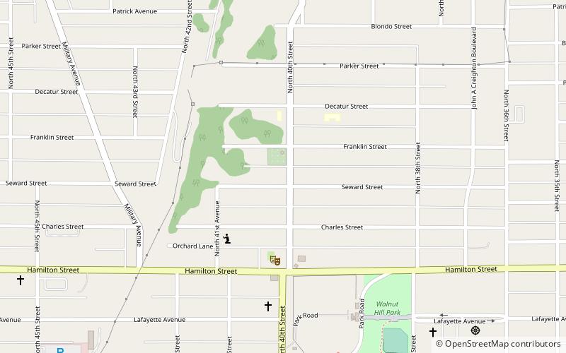
Nearby attractions include Country Club Historic District, Omaha (13 min walk), Dundee–Happy Hollow Historic District, Omaha (19 min walk), Minne Lusa, Omaha (19 min walk), Walnut Hill, Omaha (21 min walk).
How to get to Metcalfe Park by public transport?
The nearest stations to Metcalfe Park:
Bus
Bus
- 50th & Dodge • Lines: 2 (28 min walk)
- 62nd & Dodge • Lines: 2 (35 min walk)


